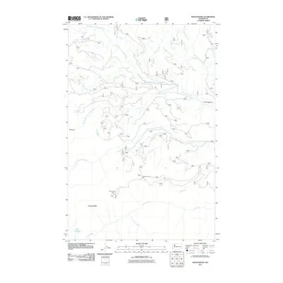
2011 Map of Raven Roost
USGS Topo · Published 2011About this map
Raven Roost Lookout anchors this 2011 survey of the eastern Cascades, overlooking a complex network of forest roads and alpine drainage systems. The landscape is defined by the convergence of several major waterways, including the North Fork, Middle Fork, and South Fork Little Naches River. This map details the mid-century infrastructure of the national forest, highlighting recreational and utility sites such as the Huckleberry Forest Camp and the high-elevation Timothy Meadow. The rugged geography is further articulated through named terrain features like Cougar Valley and Rods Gap. For those studying the hydrology of the region, the map traces various tributaries like Blowout Creek and West Fork Bear Creek, providing a technical look at the area's watershed prior to more recent seasonal shifts.
Find a feature on this map
18 named features on this map. Tap any name to fly to it.
Don’t see what you’re looking for? This feature index may not catch every label — zoom into the map to look around manually.
Map Details
Editions of this 2011 Raven Roost Map
This is the sole edition of this map. No revisions or reprints were ever made.
Other maps of this area

1901 · Snoqualmie Pass
USGS Topo · 1:125,000

1902 · Mount Aix
USGS Topo · 1:125,000

1903 · Snoqualmie
USGS Topo · 1:125,000

1904 · Mt Aix
USGS Topo · 1:125,000

1950 · Yakima
USGS Topo · 1:250,000

1957 · Wenatchee
USGS Topo · 1:250,000

1958 · Yakima
USGS Topo · 1:250,000

1961 · Yakima
USGS Topo · 1:250,000

1961 · Easton
USGS Topo · 1:62,500

1962 · Bumping Lake
USGS Topo · 1:62,500