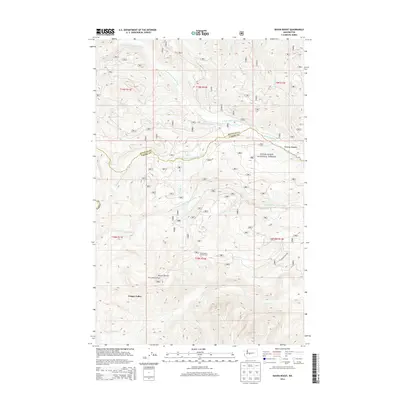
2014 Map of Raven Roost
USGS Topo · Published 2014About this map
The Snoqualmie National Forest dominates this high-elevation landscape, where the headwaters of the Naches River system converge along the county line between Kittitas and Yakima. The terrain is defined by a series of steep drainages, including the N Fork, Middle Fork, and S Fork Little Naches River. This 2014 survey documents the remote mountain interior, highlighting vital navigational landmarks for backcountry travel such as the Raven Roost Lookout and the Huckleberry Forest Camp. To the south, Cougar Valley and Crow Lake indicate the high-basin topography that feeds Crow Cr and Falls Cr. The map provides a precise record of the United States Forest Service road network, showing how timber management and recreation access are etched into the wilderness of the Central Cascades.
Find a feature on this map
22 named features on this map. Tap any name to fly to it.
Don’t see what you’re looking for? This feature index may not catch every label — zoom into the map to look around manually.
Map Details
Editions of this 2014 Raven Roost Map
This is the sole edition of this map. No revisions or reprints were ever made.
Other maps of this area

1901 · Snoqualmie Pass
USGS Topo · 1:125,000

1902 · Mount Aix
USGS Topo · 1:125,000

1903 · Snoqualmie
USGS Topo · 1:125,000

1904 · Mt Aix
USGS Topo · 1:125,000

1950 · Yakima
USGS Topo · 1:250,000

1957 · Wenatchee
USGS Topo · 1:250,000

1958 · Yakima
USGS Topo · 1:250,000

1961 · Yakima
USGS Topo · 1:250,000

1961 · Easton
USGS Topo · 1:62,500

1962 · Bumping Lake
USGS Topo · 1:62,500