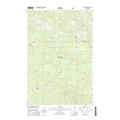
2017 Map of Raven Roost
USGS Topo · Published 2017About this map
The Snoqualmie National Forest high country, where the boundaries of Kittitas and Yakima counties meet, is dominated by the steep drainage systems of the Little Naches River. This 2017 survey shows a landscape primarily shaped by timber management and high-elevation hydrology, including the N Fork Little Naches River, Middle Fork Little Naches River, and S Fork Little Naches River. Cultural footprints are restricted to specialized infrastructure, such as the Pipeline corridor in the south and a network of forest service access routes like Nat For Dev Rd 1902. Distinctive topographical markers like the summit of Raven Roost and the crossing at 4WD Naches Pass highlight the area's role as a transit point through the Cascades. Other landmarks such as Louisiana Saddle and Timothy Meadow provide specific points of reference for those tracing historical land use or recreational paths like Legos Trail.
Find a feature on this map
45 named features on this map. Tap any name to fly to it.
Don’t see what you’re looking for? This feature index may not catch every label — zoom into the map to look around manually.
Map Details
Editions of this 2017 Raven Roost Map
This is the sole edition of this map. No revisions or reprints were ever made.
Other maps of this area

1901 · Snoqualmie Pass
USGS Topo · 1:125,000

1902 · Mount Aix
USGS Topo · 1:125,000

1903 · Snoqualmie
USGS Topo · 1:125,000

1904 · Mt Aix
USGS Topo · 1:125,000

1950 · Yakima
USGS Topo · 1:250,000

1957 · Wenatchee
USGS Topo · 1:250,000

1958 · Yakima
USGS Topo · 1:250,000

1961 · Yakima
USGS Topo · 1:250,000

1961 · Easton
USGS Topo · 1:62,500

1962 · Bumping Lake
USGS Topo · 1:62,500