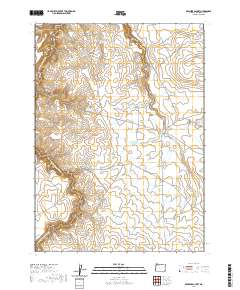
2020 Map of Rawhide Pocket
USGS Topo · Published 2020About this map
Rawhide Pocket serves as the namesake landmark for this high-desert landscape in southeastern Oregon, where a series of remote basins and plateaus define the hydrology of Malheur County. The drainage network is characterized by the W Little Owyhee River and Louse Canyon, which feed into a sophisticated system of named water catchments. These include the Harvey Cracker Reservoir, Manydraw Reservoir, and Section Sixteen Reservoir, reflecting the historical importance of water management in this arid grazing territory.
Find a feature on this map
25 named features on this map. Tap any name to fly to it.
Don’t see what you’re looking for? This feature index may not catch every label — zoom into the map to look around manually.
Map Details
Editions of this 2020 Rawhide Pocket Map
This is the sole edition of this map. No revisions or reprints were ever made.
Other maps of this area

1955 · Jordan Valley
USGS Topo · 1:250,000

1957 · Jordan Valley
USGS Topo · 1:250,000

1958 · Jordan Valley
USGS Topo · 1:250,000
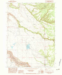
1982 · Deacon Crossing
USGS Topo · 1:24,000
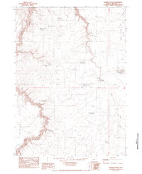
1982 · Rawhide Pocket
USGS Topo · 1:24,000
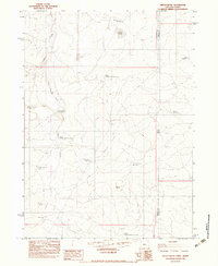
1982 · Defeat Butte
USGS Topo · 1:24,000

1982 · Guadalupe Meadows
USGS Topo · 1:24,000
1982 · Stoney Corral
USGS Topo · 1:24,000
1982 · Rawhide Springs
USGS Topo · 1:24,000
1982 · No Crossing Crossing
USGS Topo · 1:24,000