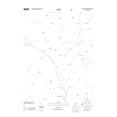
2013 Map of Rawley Springs
USGS Topo · Published 2013About this map
Rawley Springs sits at the foot of the mountains where the Dry River and Gum Run converge, serving as a gateway to the high ridges of the George Washington National Forest. This 2013 survey illustrates a landscape defined by dramatic elevation changes and named hollows, including Hopkins Hollow and Hughes Hollow. The hydrology of the region is centered on the Harrisonburg Reservoir, which captures the flow of the Dry River near Riven Rock Mountain.
Find a feature on this map
58 named features on this map. Tap any name to fly to it.
Don’t see what you’re looking for? This feature index may not catch every label — zoom into the map to look around manually.
Map Details
Editions of this 2013 Rawley Springs Map
This is the sole edition of this map. No revisions or reprints were ever made.
Other maps of this area

1892 · Franklin
USGS Topo · 1:125,000

1892 · Woodstock
USGS Topo · 1:125,000

1892 · Harrisonburg
USGS Topo · 1:125,000

1894 · Staunton
USGS Topo · 1:125,000

1896 · Franklin
USGS Topo · 1:125,000

1922 · Fort Seybert
USGS Topo · 1:48,000

1924 · Fort Seybert
USGS Topo · 1:62,500

1941 · Harrisonburg
USGS Topo · 1:62,500

1943 · Harrisonburg
USGS Topo · 1:62,500

1944 · Parnassus
USGS Topo · 1:62,500