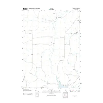
2013 Map of Rawson
USGS Topo · Published 2013About this map
Rawson and its surrounding hamlets define this rural section of western New York, where agricultural heritage remains etched into the landscape through local landmarks like Wild Geese Farm and Strzelec Farm. The map reveals a cluster of early settlements including Lyndon, Bellville, and Lyons Corners, each connected by a grid of named country roads such as Slab City Rd and White Meeting House Rd. This 2013 survey documents a landscape shaped by both water and historical transit, most notably the path of the Genesee Valley Canal in the southeast corner near Cuba Lake. For genealogists, the map is a primary resource for locating several local burial grounds, including Hardys Corners Cem, Rawson Cem, Abbotts Cem, and Union Hill Cem, which sit alongside the tributaries of Caneadea Cr and Rawson Cr.
Find a feature on this map
75 named features on this map. Tap any name to fly to it.
Don’t see what you’re looking for? This feature index may not catch every label — zoom into the map to look around manually.
Map Details
Editions of this 2013 Rawson Map
This is the sole edition of this map. No revisions or reprints were ever made.
Other maps of this area

1898 · Olean
USGS Topo · 1:62,500

1906 · Angelica
USGS Topo · 1:62,500

1924 · Franklinville
USGS Topo · 1:62,500

1925 · Belmont
USGS Topo · 1:62,500

1938 · Olean
USGS Topo · 1:62,500

1939 · Belmont
USGS Topo · 1:62,500

1941 · Angelica
USGS Topo · 1:62,500

1942 · Franklinville
USGS Topo · 1:62,500

1943 · Olean
USGS Topo · 1:62,500

1960 · Buffalo
USGS Topo · 1:250,000