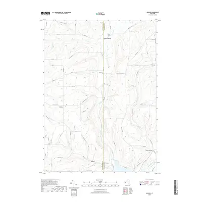
2019 Map of Rawson
USGS Topo · Published 2019About this map
Rawson sits at the center of this rural landscape, straddling the boundary between Cattaraugus and Allegany counties. This late-2010s survey illustrates a region defined by its narrow valleys and high ridges, where small crossroads settlements like Abbotts, Lyndon, and Hardy Corners are connected by a network of winding township and county roads. Along the southern edge, the terrain descends toward the northern tip of Cuba Lake, a significant water feature in this corner of Western New York.
Find a feature on this map
73 named features on this map. Tap any name to fly to it.
Don’t see what you’re looking for? This feature index may not catch every label — zoom into the map to look around manually.
Map Details
Editions of this 2019 Rawson Map
This is the sole edition of this map. No revisions or reprints were ever made.
Other maps of this area

1898 · Olean
USGS Topo · 1:62,500

1906 · Angelica
USGS Topo · 1:62,500

1924 · Franklinville
USGS Topo · 1:62,500

1925 · Belmont
USGS Topo · 1:62,500

1938 · Olean
USGS Topo · 1:62,500

1939 · Belmont
USGS Topo · 1:62,500

1941 · Angelica
USGS Topo · 1:62,500

1942 · Franklinville
USGS Topo · 1:62,500

1943 · Olean
USGS Topo · 1:62,500

1960 · Buffalo
USGS Topo · 1:250,000