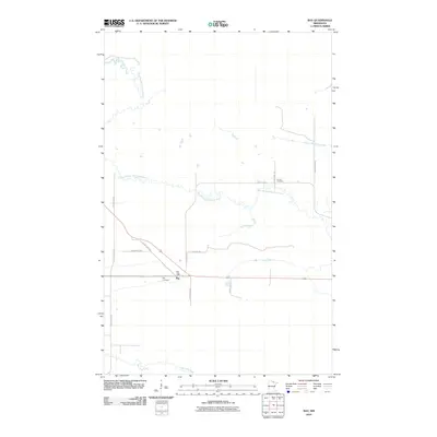
2010 Map of Ray
USGS Topo · Published 2010About this map
Ray occupies a central position in this north-woods Minnesota landscape, serving as a hub for local transportation and community life in Koochiching County. The settlement is anchored by the Ray Post Office and the nearby Ray Cemetery, reflecting a long-standing rural community structure. A network of local infrastructure, including County Hwy-111 and Town Road 182, connects the village to the surrounding wetlands and forests. The landscape is defined by the winding course of the East Branch Rat Root River, which meanders extensively across the central and northern portions of the quadrangle before meeting the main Rat Root River to the south. Further north, the Lyman Cemetery sits near a bend in the river, providing a significant point of interest for genealogical research in this sparsely populated region.
Find a feature on this map
18 named features on this map. Tap any name to fly to it.
Don’t see what you’re looking for? This feature index may not catch every label — zoom into the map to look around manually.
Map Details
Editions of this 2010 Ray Map
This is the sole edition of this map. No revisions or reprints were ever made.
Other maps of this area

1919 · International Falls
USGS Topo · 1:62,500

1954 · International Falls
USGS Topo · 1:250,000

1957 · International Falls
USGS Topo · 1:250,000

1958 · International Falls
USGS Topo · 1:250,000

1963 · Ranier
USGS Topo · 1:24,000

1969 · Ray SE
USGS Topo · 1:24,000

1969 · Island View
USGS Topo · 1:24,000

1969 · Ericsburg
USGS Topo · 1:24,000

1969 · Ericsburg SE
USGS Topo · 1:24,000

1969 · Ray
USGS Topo · 1:24,000