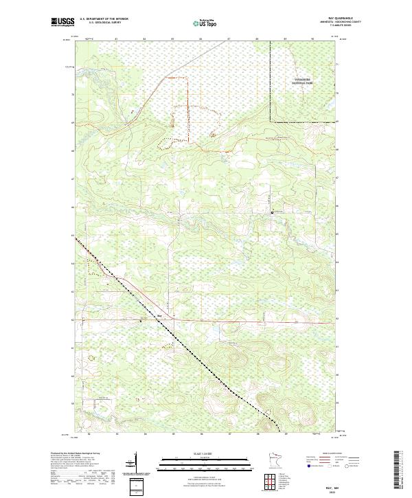
2022 Map of Ray
USGS Topo · Published 2022About this map
The settlement of Ray sits at the heart of this northern landscape, where the Rat Root River and its East Branch weave through extensive wetlands and wooded lowlands in Koochiching County. This 2022 survey captures the transition from managed agricultural lands, evidenced by the Farm Service Agency Interest of Minnesota, to the preserved wilderness of Voyageurs National Park in the northeast. Local history and genealogy are anchored by the Ray Cem and the Lyman Cem, while the David Dill-Arrowhead State Trail provides a continuous path through the varied terrain. Smaller waterways like Tom Cod Creek further define the intricate drainage patterns of this region, which remains primarily defined by its natural watercourses and sparse road network.
Find a feature on this map
30 named features on this map. Tap any name to fly to it.
Don’t see what you’re looking for? This feature index may not catch every label — zoom into the map to look around manually.
Map Details
Editions of this 2022 Ray Map
This is the sole edition of this map. No revisions or reprints were ever made.
Other maps of this area

1919 · International Falls
USGS Topo · 1:62,500

1954 · International Falls
USGS Topo · 1:250,000

1957 · International Falls
USGS Topo · 1:250,000

1958 · International Falls
USGS Topo · 1:250,000

1963 · Ranier
USGS Topo · 1:24,000

1969 · Ray SE
USGS Topo · 1:24,000

1969 · Island View
USGS Topo · 1:24,000

1969 · Ericsburg
USGS Topo · 1:24,000

1969 · Ericsburg SE
USGS Topo · 1:24,000

1969 · Ray
USGS Topo · 1:24,000