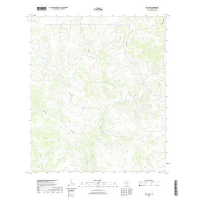
2019 Map of Ray Lake
USGS Topo · Published 2019About this map
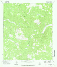
The S Llano River carves a winding path through this portion of Edwards County, defining a landscape of deep draws and limestone breaks. Water sources are the critical landmarks in this arid ranching country, represented by named features like Ray Lake and the Cloudt Waterhole. These locations, along with Cloudt Draw and Mckenzie Draw, illustrate the drainage patterns that have shaped land use and property boundaries for generations.
Find a feature on this map
9 named features on this map. Tap any name to fly to it.
Don’t see what you’re looking for? This feature index may not catch every label — zoom into the map to look around manually.
Map Details
Editions of this 2019 Ray Lake Map
This is the sole edition of this map. No revisions or reprints were ever made.
Other maps of this area

1893 · Rock Springs
USGS Topo · 1:125,000

1954 · Sonora
USGS Topo · 1:250,000

1958 · Sonora
USGS Topo · 1:250,000

1962 · Stewart Ranch
USGS Topo · 1:24,000
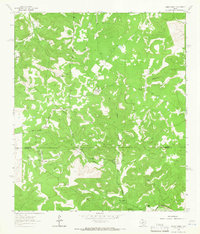
1962 · Bundy Ranch
USGS Topo · 1:24,000

1963 · Harrison Ranch
USGS Topo · 1:24,000

1970 · Ray Lake NW
USGS Topo · 1:24,000
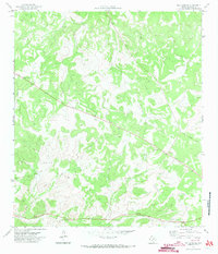
1971 · Ray Lake SE
USGS Topo · 1:24,000
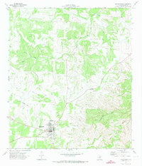
1971 · Rocksprings
USGS Topo · 1:24,000
1971 · Ray Lake
USGS Topo · 1:24,000