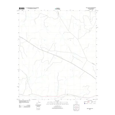
2012 Map of Ray Lake SE
USGS Topo · Published 2012About this map
Edwards County's high ranching country is defined by its network of historic routes and persistent watercourses in this 2012 survey. Ranch Road 2995 cuts vertically through the northern sections, intersecting with the diagonal path of Old Sonora Rd as it traverses the western plateau. This terrain, marked by a dense web of ephemeral creeks and draws, illustrates the geographic challenges of the Texas Hill Country, where local travel has long relied on these specific highland corridors between the drainages. The landscape remains largely open and rural, reflecting the enduring legacy of the large cattle and goat ranches that characterize this portion of the state.
Find a feature on this map
2 named features on this map. Tap any name to fly to it.
Don’t see what you’re looking for? This feature index may not catch every label — zoom into the map to look around manually.
Map Details
Editions of this 2012 Ray Lake SE Map
This is the sole edition of this map. No revisions or reprints were ever made.
Other maps of this area

1893 · Rock Springs
USGS Topo · 1:125,000

1893 · Nueces
USGS Topo · 1:125,000

1896 · Nueces
USGS Topo · 1:125,000

1944 · Indian Creek
USGS Topo · 1:62,500

1947 · Hackberry
USGS Topo · 1:62,500

1954 · Sonora
USGS Topo · 1:250,000

1958 · Sonora
USGS Topo · 1:250,000

1958 · Del Rio
USGS Topo · 1:250,000

1964 · Del Rio
USGS Topo · 1:250,000

1970 · Ray Lake NW
USGS Topo · 1:24,000