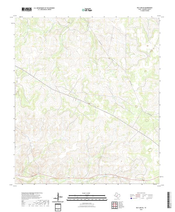
2022 Map of Ray Lake SE
USGS Topo · Published 2022About this map
Edwards County terrain dominates this 2022 survey, illustrating the complex topographic relief of the Balcones Escarpment fringe in West Texas. The landscape is defined by deep drainage networks and high ridges, crossed by only a handful of established thoroughfares. Ranch Rd 2995 cuts through the northern portion of the quadrangle, while Old Sonora Rd winds through the eastern hills, following a historical corridor between regional settlements.
Find a feature on this map
3 named features on this map. Tap any name to fly to it.
Don’t see what you’re looking for? This feature index may not catch every label — zoom into the map to look around manually.
Map Details
Editions of this 2022 Ray Lake SE Map
This is the sole edition of this map. No revisions or reprints were ever made.
Other maps of this area

1893 · Rock Springs
USGS Topo · 1:125,000

1893 · Nueces
USGS Topo · 1:125,000

1896 · Nueces
USGS Topo · 1:125,000

1944 · Indian Creek
USGS Topo · 1:62,500

1947 · Hackberry
USGS Topo · 1:62,500

1954 · Sonora
USGS Topo · 1:250,000

1958 · Sonora
USGS Topo · 1:250,000

1958 · Del Rio
USGS Topo · 1:250,000

1964 · Del Rio
USGS Topo · 1:250,000

1970 · Ray Lake NW
USGS Topo · 1:24,000