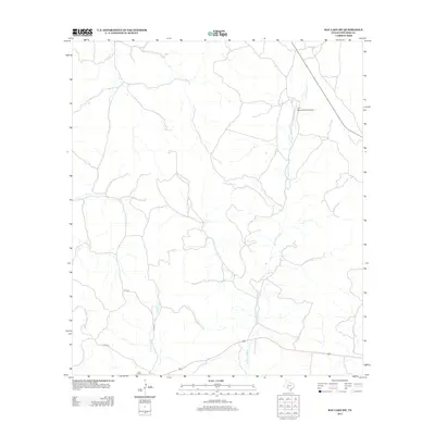
2012 Map of Ray Lake SW
USGS Topo · Published 2012About this map
The W Nueces River carves a winding path through this portion of Edwards County, defining a landscape shaped by intermittent drainage and Texas ranching traditions. In the northern reaches, the Four Square Ranch Airport stands as a notable landmark of private aviation and land management, serving the expansive ranching operations typical of this region. The map reveals a sparse but vital transportation network, with C R 104 and its branches, C R 104 W and C R 104 E, providing the primary access through the brush-filled draws. The presence of Geronimo Cr further emphasizes the importance of seasonal water sources in an environment where topographic relief is dictated by these ancient creek beds and river valleys. This survey documents the area's modern infrastructure while tracing the same natural contours that have governed South Texas land use for generations.
Find a feature on this map
6 named features on this map. Tap any name to fly to it.
Don’t see what you’re looking for? This feature index may not catch every label — zoom into the map to look around manually.
Map Details
Editions of this 2012 Ray Lake SW Map
This is the sole edition of this map. No revisions or reprints were ever made.
Other maps of this area

1893 · Rock Springs
USGS Topo · 1:125,000

1893 · Nueces
USGS Topo · 1:125,000

1896 · Nueces
USGS Topo · 1:125,000

1943 · Carta Valley
USGS Topo · 1:62,500

1944 · Indian Creek
USGS Topo · 1:62,500

1954 · Sonora
USGS Topo · 1:250,000

1958 · Sonora
USGS Topo · 1:250,000

1958 · Del Rio
USGS Topo · 1:250,000

1964 · Del Rio
USGS Topo · 1:250,000

1970 · Ray Lake NW
USGS Topo · 1:24,000