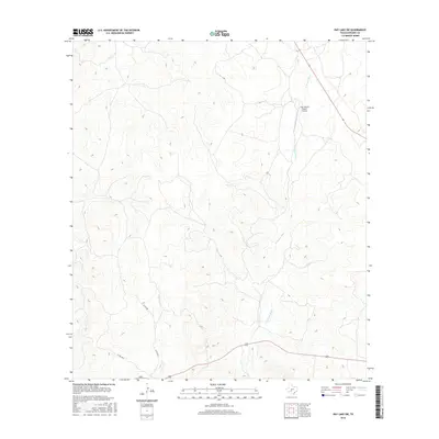
2016 Map of Ray Lake SW
USGS Topo · Published 2016About this map
The W Nueces River carves a winding path through this portion of Edwards County, defining the drainage patterns of the western Hill Country. This mid-2010s survey captures a landscape dominated by ranching interests and private landholdings, where aviation accessibility is provided by the Four Square Ranch Airport in the northern section. Seasonal waterways like Geronimo Cr feed into the river system, illustrating the intermittent hydrology of the region. Transportation is largely confined to the southern and eastern edges, where Route 377 and Route 55 provide regional connectivity. Local access is maintained through a network of rural routes including Co Rd 440, Co Rd 104 E, and Co Rd 104 W, which serve the dispersed ranching homesteads that characterize the local geography.
Find a feature on this map
8 named features on this map. Tap any name to fly to it.
Don’t see what you’re looking for? This feature index may not catch every label — zoom into the map to look around manually.
Map Details
Editions of this 2016 Ray Lake SW Map
This is the sole edition of this map. No revisions or reprints were ever made.
Other maps of this area

1893 · Rock Springs
USGS Topo · 1:125,000

1893 · Nueces
USGS Topo · 1:125,000

1896 · Nueces
USGS Topo · 1:125,000

1943 · Carta Valley
USGS Topo · 1:62,500

1944 · Indian Creek
USGS Topo · 1:62,500

1954 · Sonora
USGS Topo · 1:250,000

1958 · Sonora
USGS Topo · 1:250,000

1958 · Del Rio
USGS Topo · 1:250,000

1964 · Del Rio
USGS Topo · 1:250,000

1970 · Ray Lake NW
USGS Topo · 1:24,000