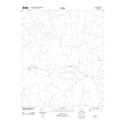
2011 Map of Rayle
USGS Topo · Published 2011About this map
Rayle and Centerville anchor this part of Wilkes County, where agricultural research meets an old extraction economy. The University of Georgia Experimental Farm occupies a significant portion of the western landscape, including the University of Georgia Farm Lake Dam. This academic and farming presence contrasts with earlier industrial activity indicated by the Morgan Mine and Fairy Ridge Mine.
Find a feature on this map
53 named features on this map. Tap any name to fly to it.
Don’t see what you’re looking for? This feature index may not catch every label — zoom into the map to look around manually.
Map Details
Editions of this 2011 Rayle Map
This is the sole edition of this map. No revisions or reprints were ever made.
Other maps of this area

1906 · Crawfordville
USGS Topo · 1:125,000

1953 · Athens
USGS Topo · 1:250,000

1958 · Athens
USGS Topo · 1:250,000

1959 · Athens
USGS Topo · 1:250,000

1963 · Athens
USGS Topo · 1:250,000

1965 · Woodville
USGS Topo · 1:24,000

1966 · Philomath
USGS Topo · 1:24,000
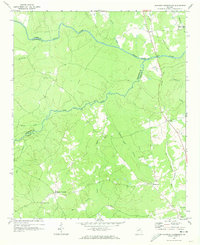
1970 · Jacksons Crossroads
USGS Topo · 1:24,000
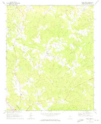
1971 · Sandy Cross
USGS Topo · 1:24,000
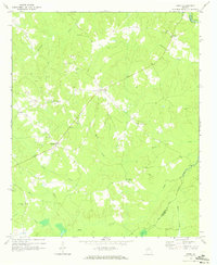
1971 · Vesta
USGS Topo · 1:24,000