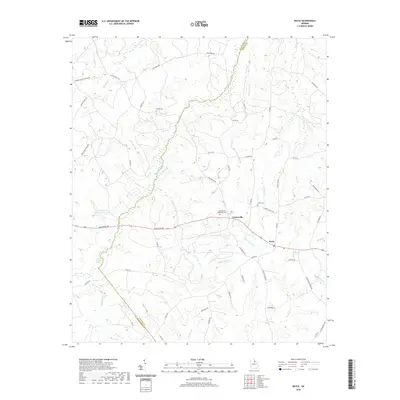
2020 Map of Rayle
USGS Topo · Published 2020About this map
Dry Fork Cr acts as the winding boundary between Oglethorpe and Wilkes counties in this rural section of Georgia. The landscape is defined by its watercourses, from the headwaters of Kettle Cr in the southeast to the numerous branches like Cow Mire Br and Hatchet Br that feed into the larger creek systems. The settlement of Rayle sits along the primary east-west corridor of Lexington Rd, while the nearby community of Centerville serves as a local hub for surrounding rural roads.
Find a feature on this map
60 named features on this map. Tap any name to fly to it.
Don’t see what you’re looking for? This feature index may not catch every label — zoom into the map to look around manually.
Map Details
Editions of this 2020 Rayle Map
This is the sole edition of this map. No revisions or reprints were ever made.
Other maps of this area

1906 · Crawfordville
USGS Topo · 1:125,000

1953 · Athens
USGS Topo · 1:250,000

1958 · Athens
USGS Topo · 1:250,000

1959 · Athens
USGS Topo · 1:250,000

1963 · Athens
USGS Topo · 1:250,000

1965 · Woodville
USGS Topo · 1:24,000

1966 · Philomath
USGS Topo · 1:24,000
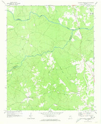
1970 · Jacksons Crossroads
USGS Topo · 1:24,000
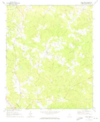
1971 · Sandy Cross
USGS Topo · 1:24,000
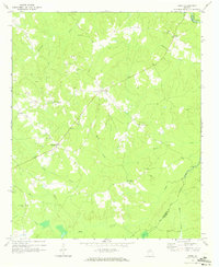
1971 · Vesta
USGS Topo · 1:24,000