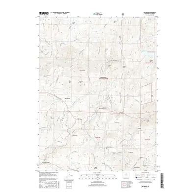
2016 Map of Raymond
USGS Topo · Published 2016About this map
The mountain communities of Allenspark, Raymond, and Jamestown anchor this 2016 survey of the Front Range foothills. Located within the Roosevelt National Forest, the landscape is defined by the convergence of the N Saint Vrain Cr, Middle Saint Vrain Cr, and S Saint Vrain Cr. These watercourses have long shaped the settlement patterns of Boulder County, with mountain roads like the Peak To Peak Scenic Byway and James Canyon Drive following the natural drainage paths.
Find a feature on this map
75 named features on this map. Tap any name to fly to it.
Don’t see what you’re looking for? This feature index may not catch every label — zoom into the map to look around manually.
Map Details
Editions of this 2016 Raymond Map
This is the sole edition of this map. No revisions or reprints were ever made.
Other maps of this area
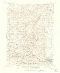
1902 · Boulder
USGS Topo · 1:62,500
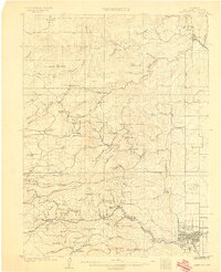
1904 · Boulder
USGS Topo · 1:62,500
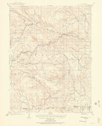
1905 · Mount Olympus
USGS Topo · 1:62,500
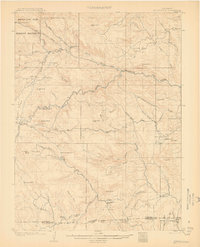
1907 · Mount Olympus
USGS Topo · 1:62,500
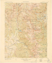
1915 · Longs Peak
USGS Topo · 1:125,000
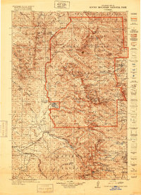
1919 · Rocky Mountain National Park
USGS Topo · 1:125,000
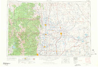
1954 · Greeley
USGS Topo · 1:250,000
1957 · Greeley
USGS Topo · 1:250,000
1957 · Boulder
USGS Topo · 1:24,000
1957 · Allens Park
USGS Topo · 1:24,000