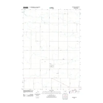
2012 Map of Raymond
USGS Topo · Published 2012About this map
The small community of Raymond and its surrounding agricultural grid define this landscape in Clark County. The township's organized structure is centered on a cluster of streets including School St, Ranney Ave, and George St. Outside of the immediate town site, the landscape is partitioned by a meticulous network of section lines, including 165th St and 414th Ave, reflecting the enduring homestead patterns of the eastern Dakotas.
Find a feature on this map
24 named features on this map. Tap any name to fly to it.
Don’t see what you’re looking for? This feature index may not catch every label — zoom into the map to look around manually.
Map Details
Editions of this 2012 Raymond Map
This is the sole edition of this map. No revisions or reprints were ever made.
Other maps of this area

1894 · Conde
USGS Topo · 1:62,500

1895 · Byron
USGS Topo · 1:125,000

1895 · Aberdeen
USGS Topo · 1:125,000

1953 · Milbank
USGS Topo · 1:250,000

1953 · Huron
USGS Topo · 1:250,000

1953 · Watertown
USGS Topo · 1:250,000

1954 · Aberdeen
USGS Topo · 1:250,000

1954 · Huron
USGS Topo · 1:250,000

1956 · Aberdeen
USGS Topo · 1:250,000

1958 · Milbank
USGS Topo · 1:250,000