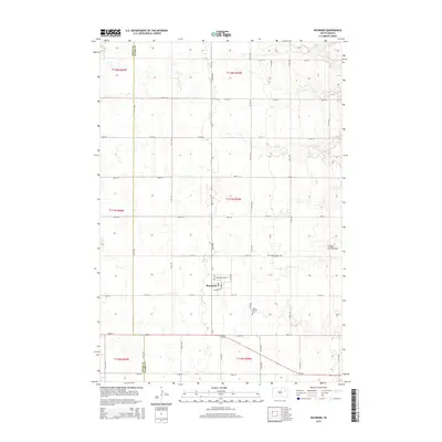
2015 Map of Raymond
USGS Topo · Published 2015About this map
Raymond sits as the central settlement in this eastern South Dakota landscape, positioned along a grid of section-line roads such as 171st St and 414th Ave. The terrain is characterized by the prominent Coteau des Prairies, a vast plateau that shapes the local topography. This 2015 survey reveals the enduring rural structure of the region, where community life centers around the small town plot featuring Washington Ave, George St, and Yost St. Outside the town center, the map documents historical burial sites essential for genealogical research, including Prairie Valley Cem located to the northeast and Saint Patricks Cem to the southeast. The boundary between Spink County and Clark County runs vertically through the western portion of the quadrangle, illustrating how these administrative lines intersect with the agricultural parcels of the prairie.
Find a feature on this map
34 named features on this map. Tap any name to fly to it.
Don’t see what you’re looking for? This feature index may not catch every label — zoom into the map to look around manually.
Map Details
Editions of this 2015 Raymond Map
This is the sole edition of this map. No revisions or reprints were ever made.
Other maps of this area

1894 · Conde
USGS Topo · 1:62,500

1895 · Byron
USGS Topo · 1:125,000

1895 · Aberdeen
USGS Topo · 1:125,000

1953 · Milbank
USGS Topo · 1:250,000

1953 · Huron
USGS Topo · 1:250,000

1953 · Watertown
USGS Topo · 1:250,000

1954 · Aberdeen
USGS Topo · 1:250,000

1954 · Huron
USGS Topo · 1:250,000

1956 · Aberdeen
USGS Topo · 1:250,000

1958 · Milbank
USGS Topo · 1:250,000