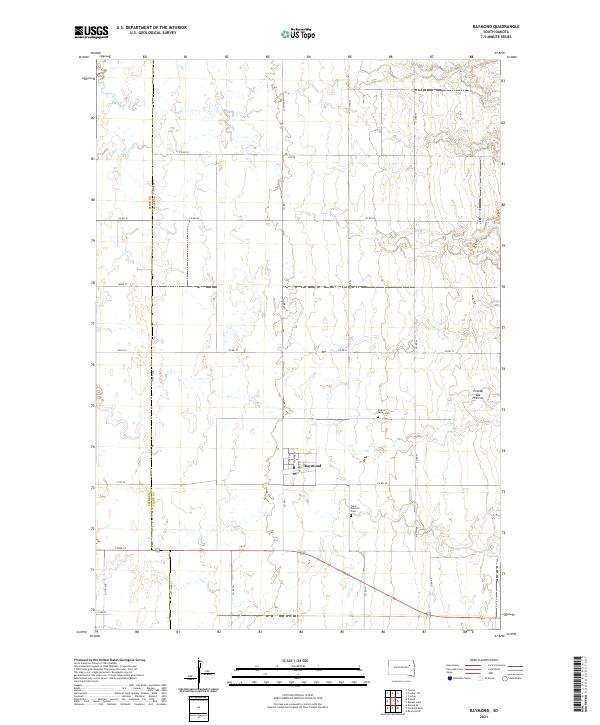
2021 Map of Raymond
USGS Topo · Published 2021About this map
Raymond serves as the central hub of this agricultural landscape in eastern South Dakota, situated at the intersection of Co RD 1 and US Highway 212. The town's grid is clearly defined by local thoroughfares like Flower St and George St, reflecting a community deeply tied to its rural surroundings. To the east, the terrain transitions into the Coteau des Prairies, a vast upland plateau that significantly influences the local geography and drainage patterns. The map also highlights the institutional memory of the area through sites such as Saint Patricks Cem and Prairie Valley Cem. The jurisdictional divide between Spink and Clark counties runs vertically through the western portion of the survey, illustrating how local governance follows the section lines of the Public Land Survey System.
Find a feature on this map
33 named features on this map. Tap any name to fly to it.
Don’t see what you’re looking for? This feature index may not catch every label — zoom into the map to look around manually.
Map Details
Editions of this 2021 Raymond Map
This is the sole edition of this map. No revisions or reprints were ever made.
Other maps of this area

1894 · Conde
USGS Topo · 1:62,500

1895 · Byron
USGS Topo · 1:125,000

1895 · Aberdeen
USGS Topo · 1:125,000

1953 · Milbank
USGS Topo · 1:250,000

1953 · Huron
USGS Topo · 1:250,000

1953 · Watertown
USGS Topo · 1:250,000

1954 · Aberdeen
USGS Topo · 1:250,000

1954 · Huron
USGS Topo · 1:250,000

1956 · Aberdeen
USGS Topo · 1:250,000

1958 · Milbank
USGS Topo · 1:250,000