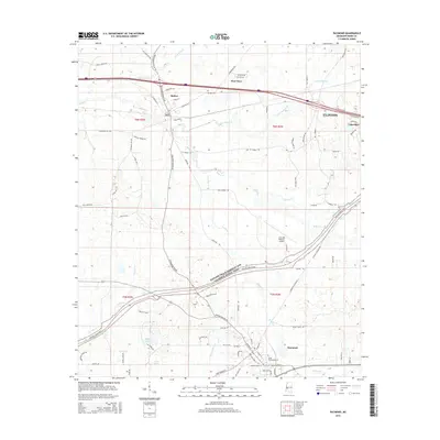
2015 Map of Raymond
USGS Topo · Published 2015About this map
Bolton and Raymond anchor this portion of Hinds County, where the transition from agricultural landscapes to developing residential centers is evident. The landscape is defined by the winding paths of Fourteenmile Cr and Bakers Cr, which drain the varied terrain. Educational and infrastructure landmarks are prominent, including the campus of Hinds Community Coll and the John Bell Williams Airport.
Find a feature on this map
87 named features on this map. Tap any name to fly to it.
Don’t see what you’re looking for? This feature index may not catch every label — zoom into the map to look around manually.
Map Details
Editions of this 2015 Raymond Map
This is the sole edition of this map. No revisions or reprints were ever made.
Other maps of this area

1903 · Jackson
USGS Topo · 1:125,000

1934 · Raymond
USGS Topo · 1:48,000

1937 · Raymond
USGS Topo · 1:62,500

1937 · Terry
USGS Topo · 1:48,000

1938 · Edwards
USGS Topo · 1:62,500

1942 · Raymond
USGS Topo · 1:62,500

1943 · Terry
USGS Topo · 1:62,500

1955 · Jackson
USGS Topo · 1:250,000

1961 · Jackson
USGS Topo · 1:250,000

1962 · Jackson
USGS Topo · 1:250,000