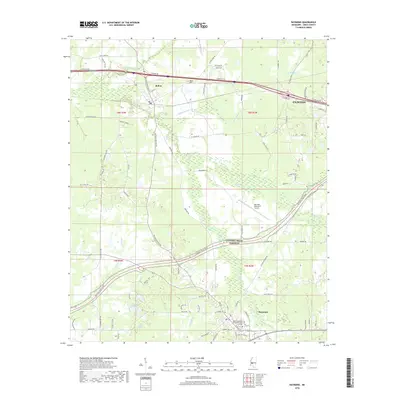
2018 Map of Raymond
USGS Topo · Published 2018About this map
Raymond and the northern edge of its historic core anchor this Hinds County landscape, serving as a hub for the surrounding rural and academic communities. The area is defined by the presence of Hinds Community College Raymond Campus and the modern connectivity of the Natchez Trace Pkwy, which follows the historic alignment of the trail across the central Mississippi plains. To the north, the town of Bolton sits near the Bolton Cem, marking a point of transition toward the outskirts of Clinton. Drainage throughout the region is managed by a network of winding waterways including Little Bakers Cr and Fourteenmile Cr, which meander through a mix of open farmland and wooded corridors. This 2018 survey illustrates the persistent importance of regional aviation at John Bell Williams Airport and the ongoing growth of suburban corridors along Clinton Raymond Rd.
Find a feature on this map
79 named features on this map. Tap any name to fly to it.
Don’t see what you’re looking for? This feature index may not catch every label — zoom into the map to look around manually.
Map Details
Editions of this 2018 Raymond Map
This is the sole edition of this map. No revisions or reprints were ever made.
Other maps of this area

1903 · Jackson
USGS Topo · 1:125,000

1934 · Raymond
USGS Topo · 1:48,000

1937 · Raymond
USGS Topo · 1:62,500

1937 · Terry
USGS Topo · 1:48,000

1938 · Edwards
USGS Topo · 1:62,500

1942 · Raymond
USGS Topo · 1:62,500

1943 · Terry
USGS Topo · 1:62,500

1955 · Jackson
USGS Topo · 1:250,000

1961 · Jackson
USGS Topo · 1:250,000

1962 · Jackson
USGS Topo · 1:250,000