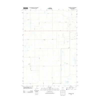
2013 Map of Raymond Lake
USGS Topo · Published 2013About this map
Raymond Lake anchors the southeastern corner of this rural landscape in Stearns County, where the terrain is defined by a dense network of glacial wetlands and drainage systems. The hydrography is dominated by Ashley Cr in the northwest and the winding course of Hoboken Cr to the east. For those researching local family history, two significant burial sites are documented: Saint Johns Cem near the center of the sheet and Lyman Prairie Cem further west. The region's transport network follows a strict sectional grid, bisected by the east-west corridor of MN-28 and the north-south route of Co HWY-18. This survey preserves the placement of late 20th-century farmsteads and rural infrastructure before further modern development altered the agricultural character of the township.
Find a feature on this map
25 named features on this map. Tap any name to fly to it.
Don’t see what you’re looking for? This feature index may not catch every label — zoom into the map to look around manually.
Map Details
Editions of this 2013 Raymond Lake Map
This is the sole edition of this map. No revisions or reprints were ever made.
Other maps of this area

1953 · Saint Cloud
USGS Topo · 1:250,000

1957 · Saint Cloud
USGS Topo · 1:250,000

1958 · Saint Cloud
USGS Topo · 1:250,000

1965 · Westport
USGS Topo · 1:24,000

1965 · Sauk Centre
USGS Topo · 1:24,000

1965 · Padua
USGS Topo · 1:24,000

1965 · Sedan
USGS Topo · 1:24,000

1965 · Raymond Lake
USGS Topo · 1:24,000

1965 · Elrosa
USGS Topo · 1:24,000

1966 · West Union
USGS Topo · 1:24,000