
1966 Map of West Union
USGS Topo · Published 1967About this map
The Great Northern railroad cuts a diagonal line through the prairie and wetlands of central Minnesota, serving the small community of West Union. This mid-1960s landscape is defined by its glacial hydrology, with numerous basins like West Union Lake, Guernsey Lake, and Selinsky Lake dotting the terrain. The social fabric of the rural townships of Gordon and West Union is evident in the distribution of country schools and churches, including School No 2272, Sauk Valley Church, and the Townhall.
Find a feature on this map
30 named features on this map. Tap any name to fly to it.
Don’t see what you’re looking for? This feature index may not catch every label — zoom into the map to look around manually.
Map Details
Editions of this 1966 West Union Map
This is the sole edition of this map. No revisions or reprints were ever made.
Other maps of this area

1953 · Saint Cloud
USGS Topo · 1:250,000

1957 · Saint Cloud
USGS Topo · 1:250,000

1958 · Saint Cloud
USGS Topo · 1:250,000

1965 · Westport
USGS Topo · 1:24,000

1965 · Sauk Centre
USGS Topo · 1:24,000

1965 · Raymond Lake
USGS Topo · 1:24,000

1966 · Osakis
USGS Topo · 1:24,000
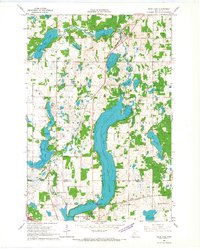
1966 · Sauk Lake
USGS Topo · 1:24,000

1966 · Lake Osakis East
USGS Topo · 1:24,000
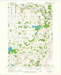
1966 · Round Prairie
USGS Topo · 1:24,000