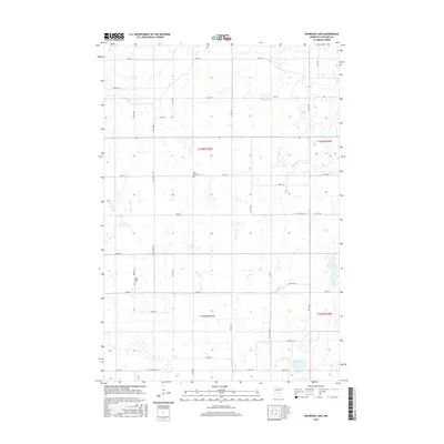
2016 Map of Raymond Lake
USGS Topo · Published 2016About this map
Raymond Lake anchors the southeastern corner of this agricultural landscape in Stearns County, which is defined by a complex network of wetlands and small glacial basins. The terrain is bisected by the slow-moving waters of Ashley Cr and Hoboken Cr, which weave through the section lines of the Public Land Survey System. Local history and genealogy are anchored at the Saint Johns Cem and Lyman Prairie Cem, both situated along the rural roads that provide access to the outlying homesteads. The road network is a mix of county routes like Co Hwy 28 and established local arteries such as Co St Aid Hwy 26. This 2016 survey captures the area as a stable rural community, where the land remains divided by the original township and range boundaries including t126n r35w and t125n r35w.
Find a feature on this map
30 named features on this map. Tap any name to fly to it.
Don’t see what you’re looking for? This feature index may not catch every label — zoom into the map to look around manually.
Map Details
Editions of this 2016 Raymond Lake Map
This is the sole edition of this map. No revisions or reprints were ever made.
Other maps of this area

1953 · Saint Cloud
USGS Topo · 1:250,000

1957 · Saint Cloud
USGS Topo · 1:250,000

1958 · Saint Cloud
USGS Topo · 1:250,000

1965 · Westport
USGS Topo · 1:24,000

1965 · Sauk Centre
USGS Topo · 1:24,000

1965 · Padua
USGS Topo · 1:24,000

1965 · Sedan
USGS Topo · 1:24,000

1965 · Raymond Lake
USGS Topo · 1:24,000

1965 · Elrosa
USGS Topo · 1:24,000

1966 · West Union
USGS Topo · 1:24,000