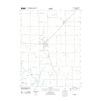
2012 Map of Raymond
USGS Topo · Published 2012About this map
Raymond and Harvel serve as the primary hubs in this agricultural section of Montgomery County, defined by a grid of rural roads and the drainage of W Fork Shoal Cr. The landscape is a mix of traditional farmsteads like Shoal Creek Farm and evolving water management infrastructure, most notably the Shoal Creek Watershed Impoundment-Reservoir in the south. Genealogists will find a high density of burial sites including Harvel Cem, Asbury Cem, Cass Cem, and the Saint Raymond's Cem, which anchor the local history of these prairie townships. Transport and utility routes are visible through the diagonal passage of the railroad corridor and local landmarks such as Five Mile Bridge and the Lebeck Landing Strip, indicating the continued importance of regional connectivity in this central Illinois territory.
Find a feature on this map
83 named features on this map. Tap any name to fly to it.
Don’t see what you’re looking for? This feature index may not catch every label — zoom into the map to look around manually.
Map Details
Editions of this 2012 Raymond Map
This is the sole edition of this map. No revisions or reprints were ever made.
Other maps of this area

1915 · Mount Olive
USGS Topo · 1:62,500

1923 · Raymond
USGS Topo · 1:62,500

1925 · Raymond
USGS Topo · 1:62,500

1944 · Mount Olive
USGS Topo · 1:62,500

1946 · Nokomis
USGS Topo · 1:62,500

1947 · Hillsboro
USGS Topo · 1:62,500

1949 · Hillsboro
USGS Topo · 1:62,500

1949 · Nokomis
USGS Topo · 1:62,500

1958 · Decatur
USGS Topo · 1:250,000

1961 · Decatur
USGS Topo · 1:250,000