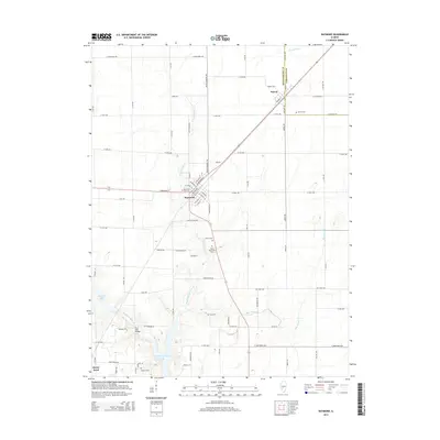
2015 Map of Raymond
USGS Topo · Published 2015About this map
The Illinois prairie of Montgomery County is centered here around the agricultural hubs of Raymond and Harvel during the mid-2010s. The landscape is defined by its rectilinear road grid, which accommodates the winding path of West Fork Shoal Creek and the southern reach of Lake Lou Yeager. For genealogists, the map is remarkably dense with burial sites, identifying Harvel Cem, Raymond City Cem, Asbury Cem, Saint Raymonds Cem, Cass Cem, and Roberts Cem.
Find a feature on this map
77 named features on this map. Tap any name to fly to it.
Don’t see what you’re looking for? This feature index may not catch every label — zoom into the map to look around manually.
Map Details
Editions of this 2015 Raymond Map
This is the sole edition of this map. No revisions or reprints were ever made.
Other maps of this area

1915 · Mount Olive
USGS Topo · 1:62,500

1923 · Raymond
USGS Topo · 1:62,500

1925 · Raymond
USGS Topo · 1:62,500

1944 · Mount Olive
USGS Topo · 1:62,500

1946 · Nokomis
USGS Topo · 1:62,500

1947 · Hillsboro
USGS Topo · 1:62,500

1949 · Hillsboro
USGS Topo · 1:62,500

1949 · Nokomis
USGS Topo · 1:62,500

1958 · Decatur
USGS Topo · 1:250,000

1961 · Decatur
USGS Topo · 1:250,000