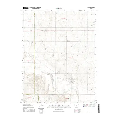
2015 Map of Raymond
USGS Topo · Published 2015About this map
The Arkansas River meanders across the southern portion of this landscape, defining the topography near the town of Raymond. This survey captures a region of Rice County characterized by its grid of rural roads and the crossing of Spring Cr through the central sections. The settlement of Silica sits to the northwest, marking a historical point of interest for researchers studying the transition of small Kansas communities. Two key burial sites, Hilltop Cem north of Raymond and Immanuel Cem near the northern boundary, provide essential touchpoints for genealogists and local historians tracing family lineages in the region. The map also delineates the precise boundaries where Barton, Rice, and Stafford counties meet, reflecting the administrative and agricultural organization of the central Kansas plains in the early twenty-first century.
Find a feature on this map
46 named features on this map. Tap any name to fly to it.
Don’t see what you’re looking for? This feature index may not catch every label — zoom into the map to look around manually.
Map Details
Editions of this 2015 Raymond Map
This is the sole edition of this map. No revisions or reprints were ever made.
Other maps of this area

1891 · Great Bend
USGS Topo · 1:125,000

1893 · Great Bend
USGS Topo · 1:125,000

1894 · Lyons
USGS Topo · 1:125,000

1955 · Great Bend
USGS Topo · 1:250,000

1956 · Ellinwood NE
USGS Topo · 1:24,000

1957 · Great Bend
USGS Topo · 1:250,000

1957 · Ellinwood
USGS Topo · 1:24,000

1958 · Great Bend
USGS Topo · 1:250,000

1967 · Alden
USGS Topo · 1:24,000

1967 · Alden NW
USGS Topo · 1:24,000