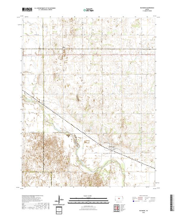
2022 Map of Raymond
USGS Topo · Published 2022About this map
The Arkansas River carves a winding path through this section of central Kansas, defining the agricultural landscape near the intersection of the Barton Co and Rice Co lines. The small town of Raymond sits near the river's northern bank, its grid of streets including N Main St and E 4th St situated just south of Hilltop Cem. Further north, the settlement of Silica marks a point along the rural road network where Ave M crosses between counties. This survey illustrates a highly organized section-line road system that facilitates travel through the river valley and surrounding uplands. Local history is anchored by sites like Immanuel Cem in the north and the seasonal flow of Spring Cr, showing the distribution of early twentieth-century rural infrastructure that remains vital to the region today.
Find a feature on this map
41 named features on this map. Tap any name to fly to it.
Don’t see what you’re looking for? This feature index may not catch every label — zoom into the map to look around manually.
Map Details
Editions of this 2022 Raymond Map
This is the sole edition of this map. No revisions or reprints were ever made.
Other maps of this area

1891 · Great Bend
USGS Topo · 1:125,000

1893 · Great Bend
USGS Topo · 1:125,000

1894 · Lyons
USGS Topo · 1:125,000

1955 · Great Bend
USGS Topo · 1:250,000

1956 · Ellinwood NE
USGS Topo · 1:24,000

1957 · Great Bend
USGS Topo · 1:250,000

1957 · Ellinwood
USGS Topo · 1:24,000

1958 · Great Bend
USGS Topo · 1:250,000

1967 · Alden
USGS Topo · 1:24,000

1967 · Alden NW
USGS Topo · 1:24,000