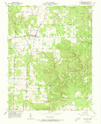
1951 Map of Raymondville
USGS Topo · Published 1973About this map
Raymondville and the smaller settlement of Yukon anchor this mid-century survey of the Texas County interior. The landscape is defined by the transition from the upland plateaus of Jackson township into the intricate drainage systems of Ozark township to the south. Life in these Missouri hills revolved around community hubs like Friendship Sch, High Point Sch, and Yukon Sch, alongside family landmarks such as the Allen Cem.
Find a feature on this map
21 named features on this map. Tap any name to fly to it.
Don’t see what you’re looking for? This feature index may not catch every label — zoom into the map to look around manually.
Map Details
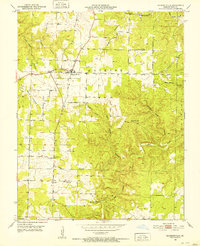
Editions of this 1951 Raymondville Map
3 editions found
Other maps of this area

1932 · Cedar Grove
USGS Topo · 1:48,000

1945 · Clear Springs
USGS Topo · 1:62,500

1946 · Summersville
USGS Topo · 1:62,500

1948 · Clear Springs
USGS Topo · 1:62,500

1948 · Summersville
USGS Topo · 1:62,500

1949 · Rolla
USGS Topo · 1:250,000

1951 · Montauk
USGS Topo · 1:24,000

1951 · Licking
USGS Topo · 1:24,000

1951 · Raymondville
USGS Topo · 1:24,000

1951 · Prescott
USGS Topo · 1:24,000