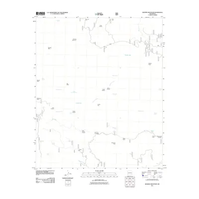
2011 Map of Reading Mountain
USGS Topo · Published 2011About this map
Reading Mountain and Reading Mesa anchor this landscape, where a dense network of springs and canyons define the local geography. The presence of Snow Creek Cabin in the north suggests the seasonal habitation and land management common in this corner of New Mexico. Water sources are critical identifiers here, ranging from named pools like Tadpole Lake to specialized livestock or irrigation features such as Cooley Tank and Moore Tank.
Find a feature on this map
46 named features on this map. Tap any name to fly to it.
Don’t see what you’re looking for? This feature index may not catch every label — zoom into the map to look around manually.
Map Details
Editions of this 2011 Reading Mountain Map
This is the sole edition of this map. No revisions or reprints were ever made.
Other maps of this area

1909 · Silver City
USGS Topo · 1:125,000

1911 · Alum Mountain
USGS Topo · 1:125,000

1913 · Alum Mountain
USGS Topo · 1:125,000

1947 · Twin Sisters
USGS Topo · 1:24,000

1947 · Fort Bayard
USGS Topo · 1:24,000

1948 · Twin Sisters
USGS Topo · 1:24,000

1949 · Fort Bayard
USGS Topo · 1:24,000

1949 · Circle Mesa
USGS Topo · 1:24,000

1950 · Dorsey Ranch
USGS Topo · 1:24,000

1950 · Silver City
USGS Topo · 1:24,000