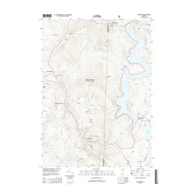
2015 Map of Readsboro
USGS Topo · Published 2015About this map
The Deerfield River and its numerous tributaries, including Wilder Brook and Number Nine Brook, define the steep topography of the southern Vermont borderlands within the Green Mountain National Forest. This 2015 update documents the settled valleys where Readsboro and Whitingham serve as hubs of local activity. Genealogists will find a high density of burial grounds throughout the area, from the Readsboro Village Cem near the town center to more isolated sites like the North Hill-Amidon Cem and Jewell-Wheeler Hill Cem. The vast Harriman Reservoir dominates the eastern landscape, a significant modification of the natural drainage that reshaped the region's geography. High points such as North Hill and Jarvis Hill overlook the winding courses of the West Branch Deerfield River and the S Br Deerfield River, while smaller bodies of water like Lake Clara and Sadawga Lake provide points of interest on the eastern plateau.
Find a feature on this map
86 named features on this map. Tap any name to fly to it.
Don’t see what you’re looking for? This feature index may not catch every label — zoom into the map to look around manually.
Map Details
Editions of this 2015 Readsboro Map
This is the sole edition of this map. No revisions or reprints were ever made.
Other maps of this area

1886 · Greylock
USGS Topo · 1:62,500

1886 · Hawley
USGS Topo · 1:62,500

1889 · Wilmington
USGS Topo · 1:62,500

1890 · Hawley
USGS Topo · 1:62,500

1891 · Wilmington
USGS Topo · 1:62,500

1891 · Greylock
USGS Topo · 1:62,500

1893 · Greylock
USGS Topo · 1:62,500

1894 · Hawley
USGS Topo · 1:62,500

1898 · Bennington
USGS Topo · 1:62,500

1898 · Greylock
USGS Topo · 1:62,500