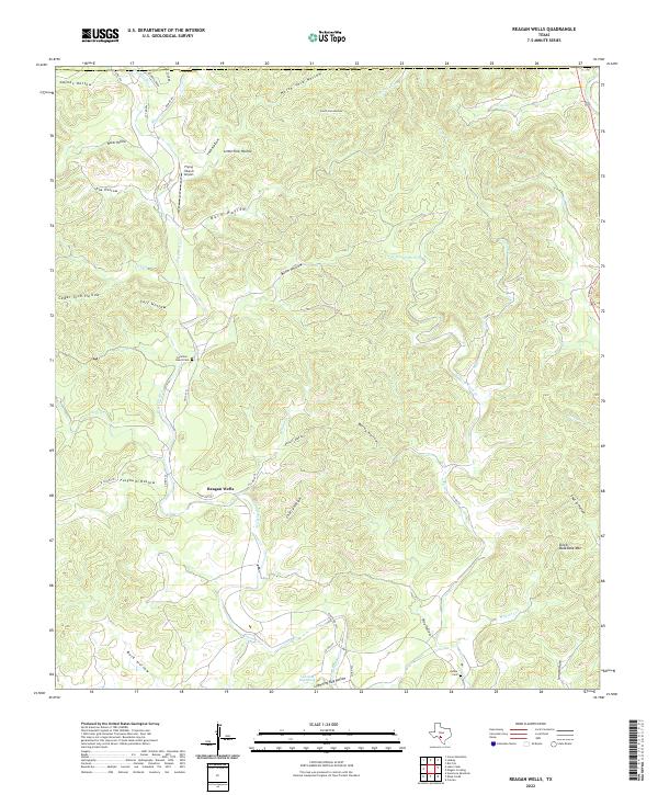
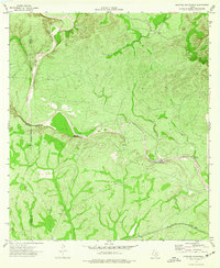
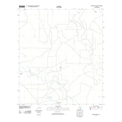
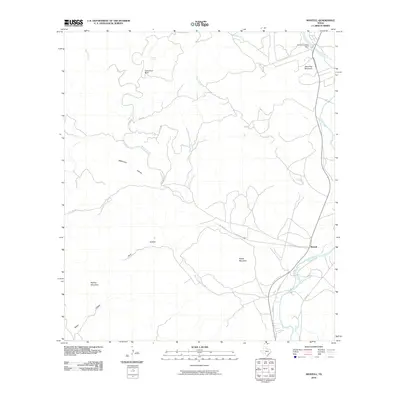
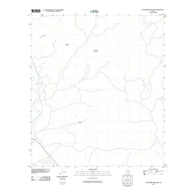
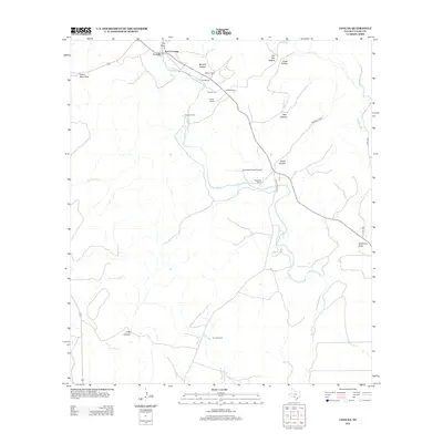
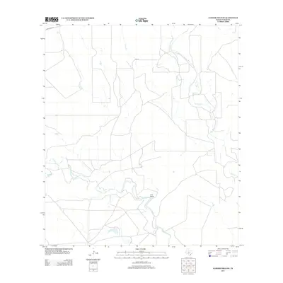
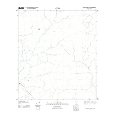
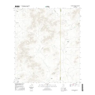
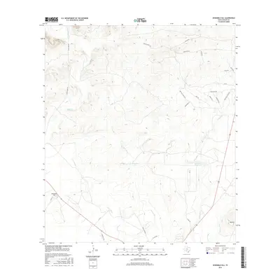
2022 Map of Reagan Wells
USGS Topo · Published 2022About this map
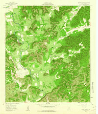
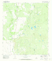
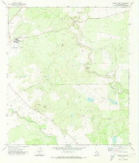
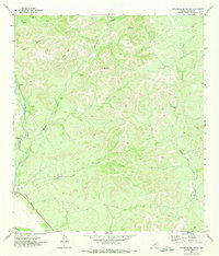
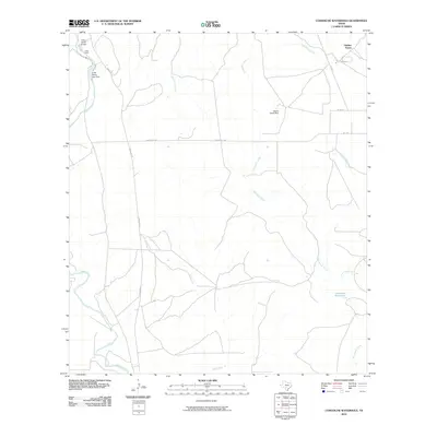
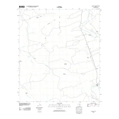
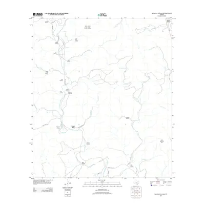
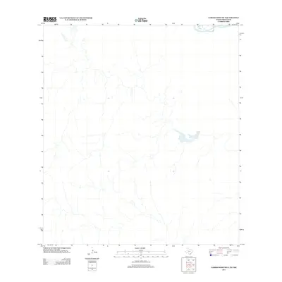
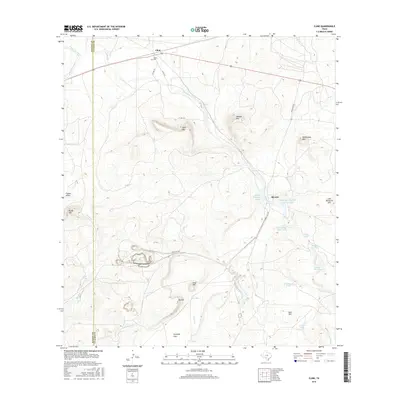
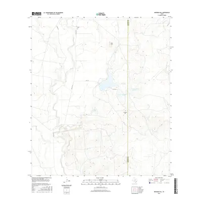
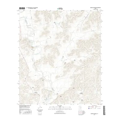
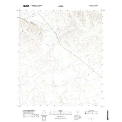
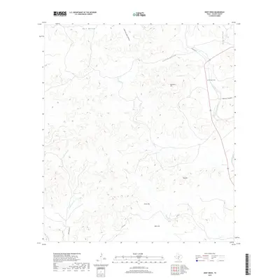
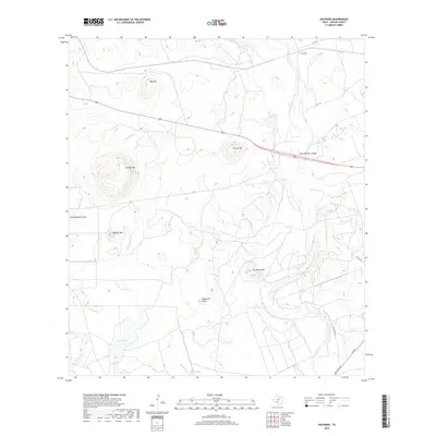
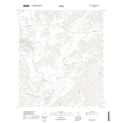
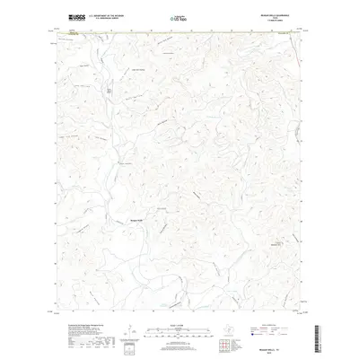
Reagan Wells serves as the central community in this portion of Uvalde County, situated along the Dry Frio River where Ranch Rd 1051 meets FM 1051 N. The landscape is defined by an intricate network of drainage systems and family-named hollows, including Mine Hollow and Gaines Hollow, which carve through the high ground towards the river valley. Genealogists can identify key burial sites such as the Cummins - Heard Cem near the river and the Aldine Cem to the southeast. To the east, the terrain rises sharply at Devils Backbone Mtn, overlooking the various branches of Flush Cr. The map also documents modern aviation infrastructure with the Flying J Ranch Airport located north of the main settlement. Distinctive natural landmarks like Lightning Bug Spring and Lightning Bug Hollow provide specific points of interest within this complex topography of the Texas Hill Country.
Find a feature on this map
51 named features on this map. Tap any name to fly to it.
Don’t see what you’re looking for? This feature index may not catch every label — zoom into the map to look around manually.
Map Details
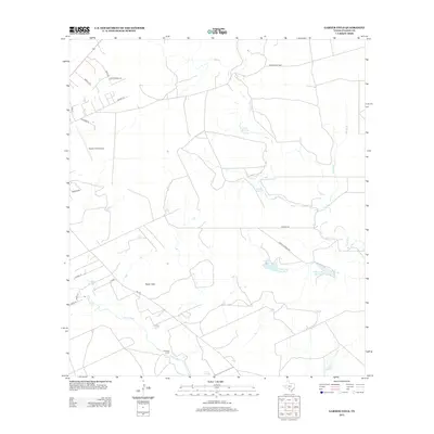
Editions of this 2022 Reagan Wells Map
This is the sole edition of this map. No revisions or reprints were ever made.
Historical Maps of Happy Hollow Through Time
125 maps found
1960 Chalk Bluff
Uvalde County, TX
1960 Concan
Uvalde County, TX
1960 Hacienda
Uvalde County, TX
1960 Magers Crossing
Uvalde County, TX
1969 Comanche Waterhole
Uvalde County, TX
1969 Flatrock Crossing
Uvalde County, TX
1969 Trio
Uvalde County, TX
1970 Irishman Hill
Uvalde County, TX
1971 Blanco Lake
Uvalde County, TX
1971 Deep Creek
Uvalde County, TX
1971 Garner Field NE
Uvalde County, TX
1971 Garner Field
Uvalde County, TX
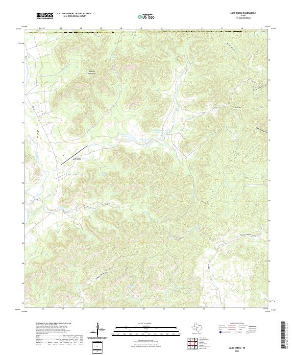
1971 Lake Creek
Uvalde County, TX
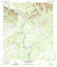
1971 Reagan Wells
Uvalde County, TX
1971 Sevenmile Hill
Uvalde County, TX
1971 Sycamore Mountain
Uvalde County, TX
1973 Montell
Uvalde County, TX
1974 Cline
Uvalde County, TX
1974 Laguna
Uvalde County, TX
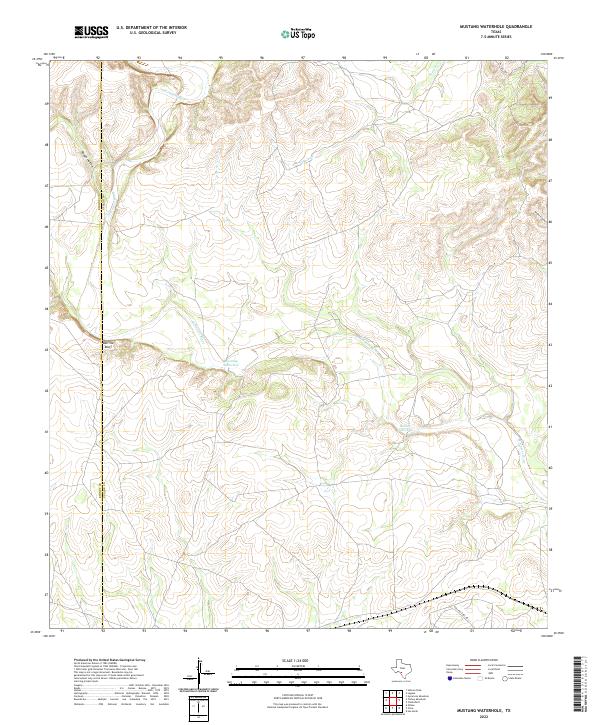
1974 Mustang Waterhole
Uvalde County, TX
2010 Blanco Lake
Uvalde County, TX
2010 Chalk Bluff
Uvalde County, TX
2010 Cline
Uvalde County, TX
2010 Comanche Waterhole
Uvalde County, TX
2010 Concan
Uvalde County, TX
2010 Deep Creek
Uvalde County, TX
2010 Flatrock Crossing
Uvalde County, TX
2010 Garner Field NE
Uvalde County, TX
2010 Garner Field
Uvalde County, TX
2010 Hacienda
Uvalde County, TX
2010 Irishman Hill
Uvalde County, TX
2010 Laguna
Uvalde County, TX
2010 Lake Creek
Uvalde County, TX
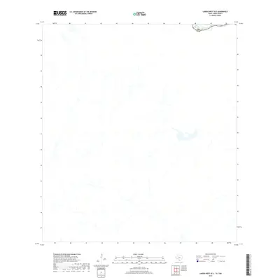
2010 Laredo West OE S
Uvalde County, TX
2010 Magers Crossing
Uvalde County, TX
2010 Montell
Uvalde County, TX
2010 Mustang Waterhole
Uvalde County, TX
2010 Reagan Wells
Uvalde County, TX
2010 Sevenmile Hill
Uvalde County, TX
2010 Sycamore Mountain
Uvalde County, TX
2010 Trio
Uvalde County, TX
2012 Blanco Lake
Uvalde County, TX
2012 Cline
Uvalde County, TX
2012 Concan
Uvalde County, TX
2012 Deep Creek
Uvalde County, TX
2012 Flatrock Crossing
Uvalde County, TX

2012 Laguna
Uvalde County, TX
2012 Lake Creek
Uvalde County, TX
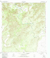
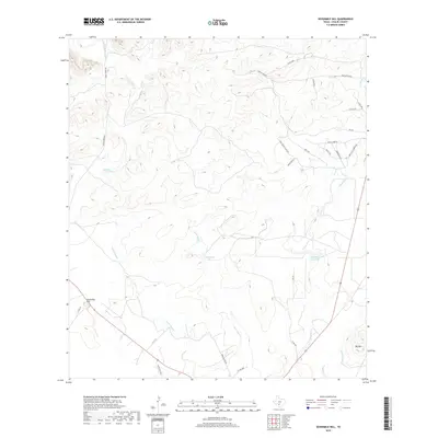
2012 Reagan Wells
Uvalde County, TX
2012 Sevenmile Hill
Uvalde County, TX
2013 Chalk Bluff
Uvalde County, TX
2013 Comanche Waterhole
Uvalde County, TX
2013 Garner Field NE
Uvalde County, TX
2013 Garner Field
Uvalde County, TX
2013 Hacienda
Uvalde County, TX
2013 Irishman Hill
Uvalde County, TX
2013 Laredo West OE S
Uvalde County, TX
2013 Magers Crossing
Uvalde County, TX
2013 Montell
Uvalde County, TX
2013 Mustang Waterhole
Uvalde County, TX
2013 Sycamore Mountain
Uvalde County, TX
2013 Trio
Uvalde County, TX
2016 Blanco Lake
Uvalde County, TX
2016 Chalk Bluff
Uvalde County, TX
2016 Cline
Uvalde County, TX
2016 Comanche Waterhole
Uvalde County, TX
2016 Concan
Uvalde County, TX
2016 Deep Creek
Uvalde County, TX
2016 Flatrock Crossing
Uvalde County, TX
2016 Garner Field NE
Uvalde County, TX
2016 Garner Field
Uvalde County, TX
2016 Hacienda
Uvalde County, TX
2016 Irishman Hill
Uvalde County, TX
2016 Laguna
Uvalde County, TX
2016 Lake Creek
Uvalde County, TX
2016 Laredo West OE S
Uvalde County, TX
2016 Magers Crossing
Uvalde County, TX
2016 Montell
Uvalde County, TX
2016 Mustang Waterhole
Uvalde County, TX
2016 Reagan Wells
Uvalde County, TX
2016 Sevenmile Hill
Uvalde County, TX
2016 Sycamore Mountain
Uvalde County, TX
2016 Trio
Uvalde County, TX
2019 Blanco Lake
Uvalde County, TX
2019 Chalk Bluff
Uvalde County, TX
2019 Cline
Uvalde County, TX
2019 Comanche Waterhole
Uvalde County, TX
2019 Concan
Uvalde County, TX
2019 Deep Creek
Uvalde County, TX
2019 Flatrock Crossing
Uvalde County, TX
2019 Garner Field NE
Uvalde County, TX
2019 Garner Field
Uvalde County, TX
2019 Hacienda
Uvalde County, TX
2019 Irishman Hill
Uvalde County, TX
2019 Laguna
Uvalde County, TX
2019 Lake Creek
Uvalde County, TX
2019 Laredo West OE S
Uvalde County, TX
2019 Magers Crossing
Uvalde County, TX
2019 Montell
Uvalde County, TX
2019 Mustang Waterhole
Uvalde County, TX
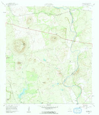
2019 Reagan Wells
Uvalde County, TX
2019 Sevenmile Hill
Uvalde County, TX
2019 Sycamore Mountain
Uvalde County, TX
2019 Trio
Uvalde County, TX
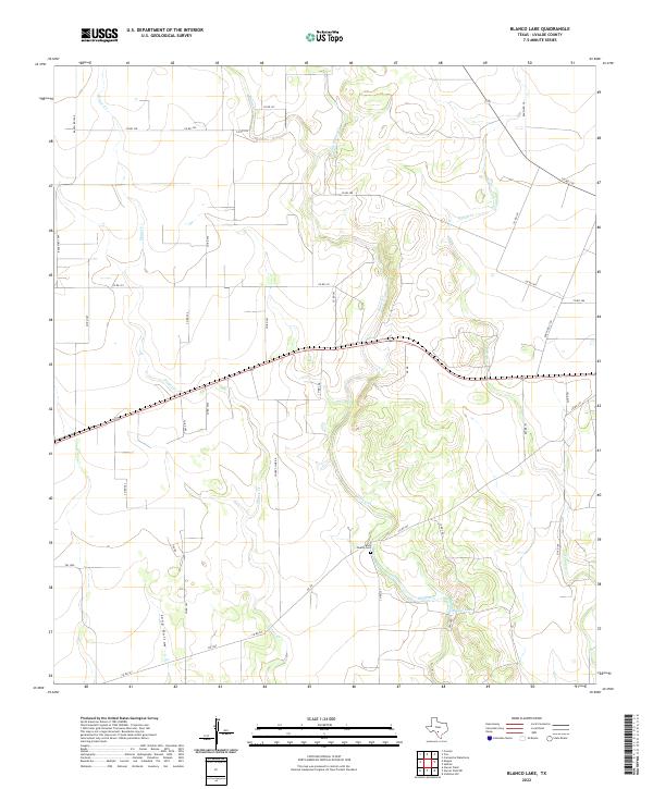
2022 Blanco Lake
Uvalde County, TX
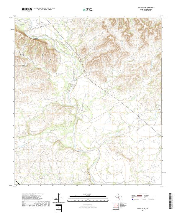
2022 Chalk Bluff
Uvalde County, TX
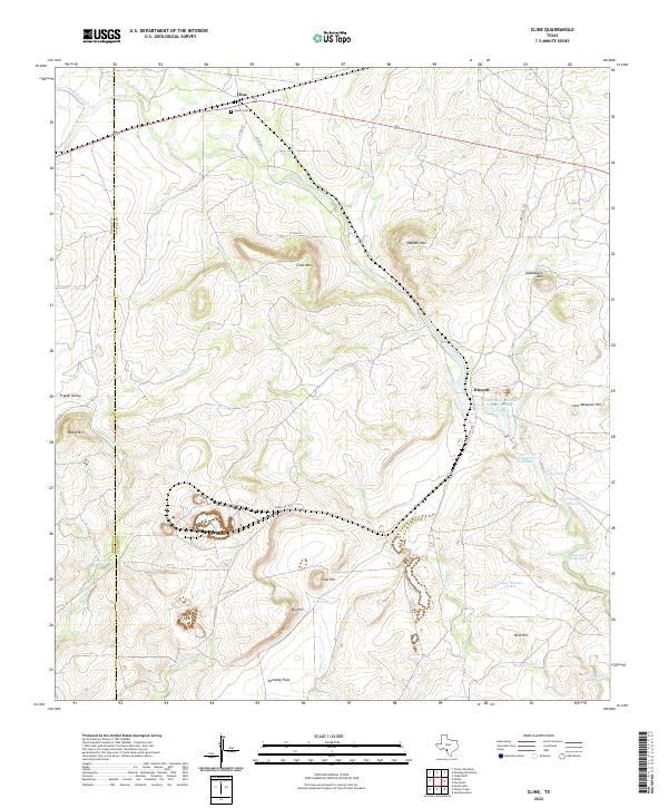
2022 Cline
Uvalde County, TX
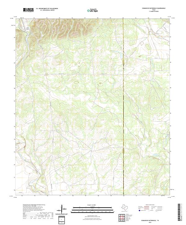
2022 Comanche Waterhole
Uvalde County, TX
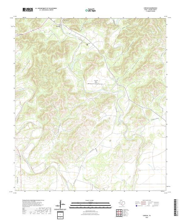
2022 Concan
Uvalde County, TX
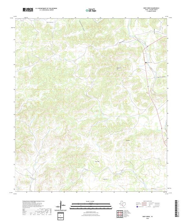
2022 Deep Creek
Uvalde County, TX
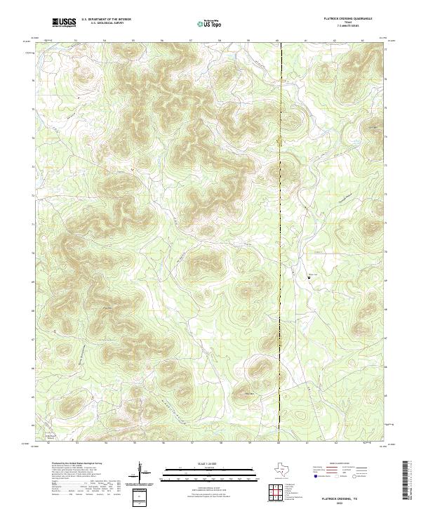
2022 Flatrock Crossing
Uvalde County, TX
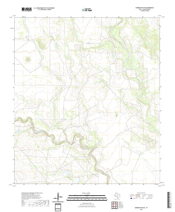
2022 Garner Field NE
Uvalde County, TX
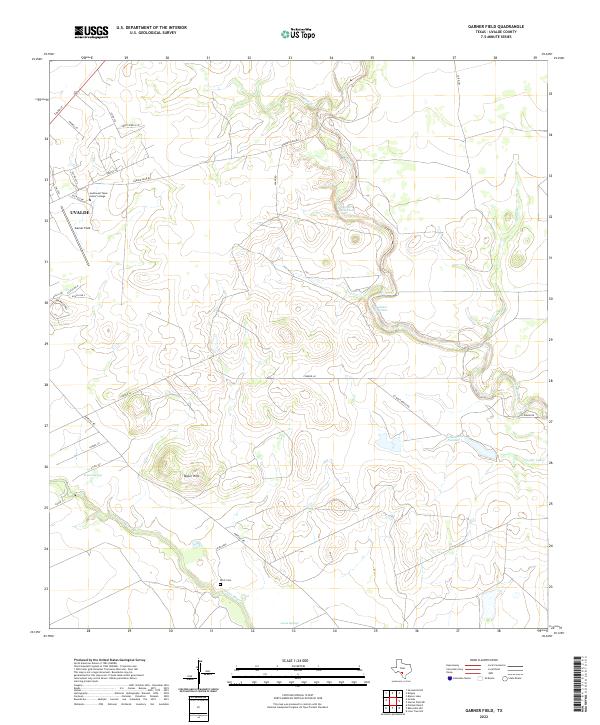
2022 Garner Field
Uvalde County, TX
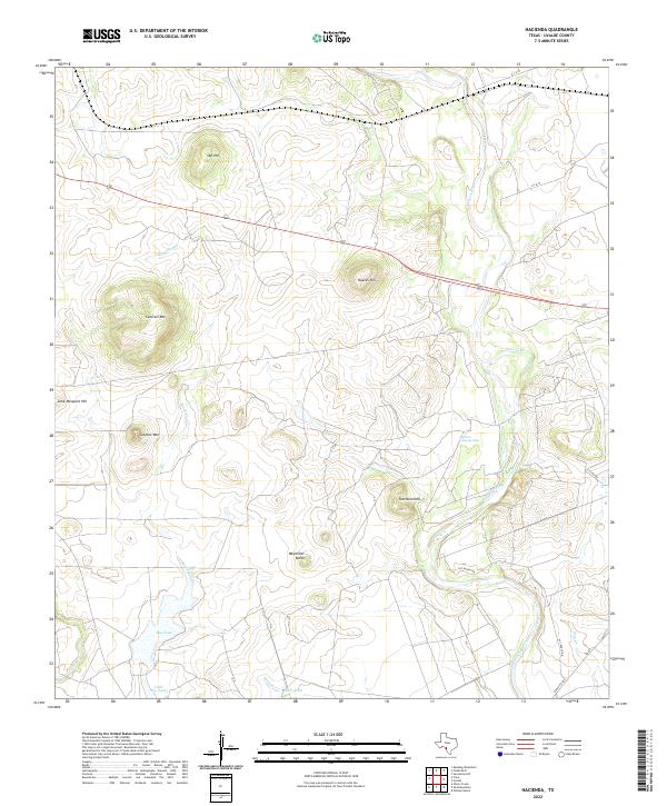
2022 Hacienda
Uvalde County, TX
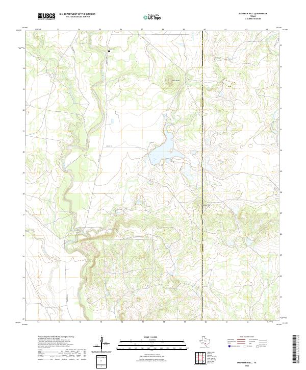
2022 Irishman Hill
Uvalde County, TX
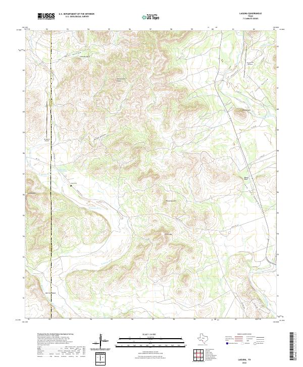
2022 Laguna
Uvalde County, TX
2022 Lake Creek
Uvalde County, TX
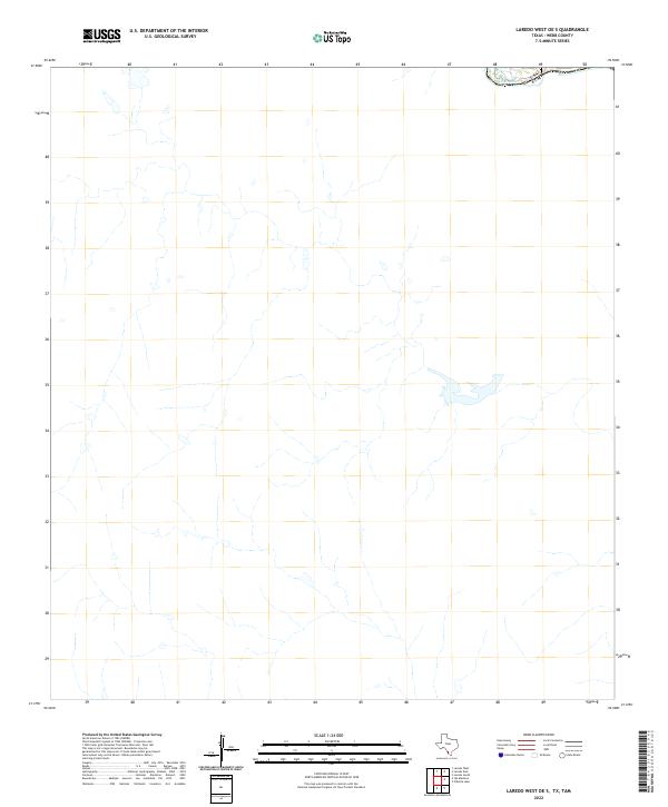
2022 Laredo West OE S
Uvalde County, TX
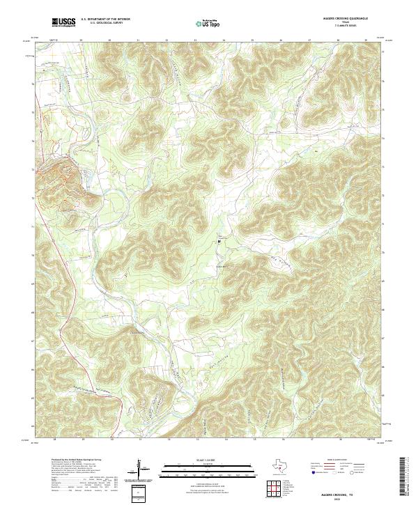
2022 Magers Crossing
Uvalde County, TX
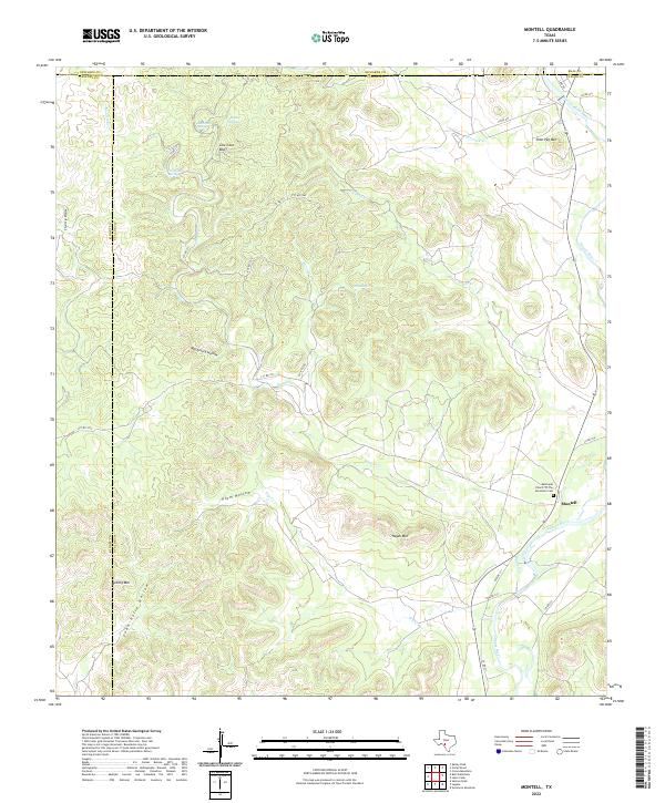
2022 Montell
Uvalde County, TX
2022 Mustang Waterhole
Uvalde County, TX
2022 Reagan Wells
Uvalde County, TX
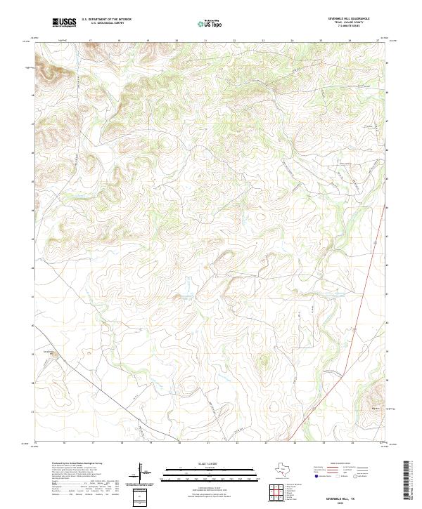
2022 Sevenmile Hill
Uvalde County, TX
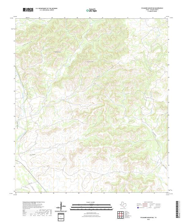
2022 Sycamore Mountain
Uvalde County, TX
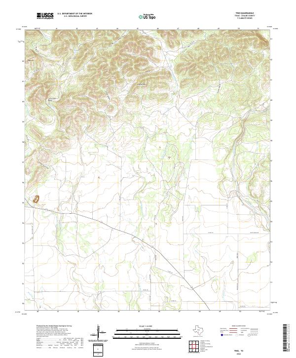
2022 Trio
Uvalde County, TX