1945 Map of Reardan
USGS Topo · Published 1948About this map
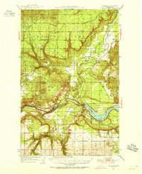
Reardan and the surrounding grain-growing uplands of the Lincoln and Spokane county border were mapped here in the early 1940s. The landscape is defined by the complex coulee and canyon systems typical of the Channeled Scablands, with watercourses like Crab Creek and Deep Creek carving through the plateau. This era shows a well-established rural infrastructure of family-centric landmarks and social hubs, including the Spring Creek Grange and West Deep Creek Grange, which served as vital community centers for the region's wheat farmers.
Find a feature on this map
28 named features on this map. Tap any name to fly to it.
Don’t see what you’re looking for? This feature index may not catch every label — zoom into the map to look around manually.
Map Details
Editions of this 1945 Reardan Map
2 editions found
Other maps of this area

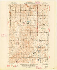
1943 · Medical Lake
USGS Topo · 1:62,500

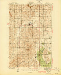
1944 · Clayton
USGS Topo · 1:62,500

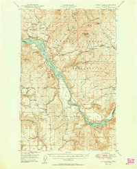
1944 · Wellpinit
USGS Topo · 1:62,500
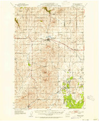
1945 · Reardan
USGS Topo · 1:62,500

1948 · Turtle Lake
USGS Topo · 1:62,500
1950 · Turtle Lake
USGS Topo · 1:62,500

1950 · Clayton
USGS Topo · 1:62,500
1953 · Reardan
USGS Topo · 1:62,500
1953 · Wellpinit
USGS Topo · 1:62,500

1953 · Ritzville
USGS Topo · 1:250,000