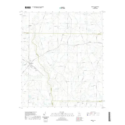
2020 Map of Rebecca
USGS Topo · Published 2020About this map
Rebecca serves as a focal point for this rural landscape where four counties meet: Turner, Wilcox, Ben Hill, and Irwin. The town’s layout is oriented toward the N Railroad St corridor, reflecting its origins as a rail-side settlement. Beyond the town center, the terrain is defined by the winding course of the Alapaha River and its numerous tributaries, including Willis Cr and Double Run Cr. The agricultural character of the region is evident in the network of county roads like Co Rd 118 and Crawford Dairy Rd that connect isolated homesteads and family farms.
Find a feature on this map
111 named features on this map. Tap any name to fly to it.
Don’t see what you’re looking for? This feature index may not catch every label — zoom into the map to look around manually.
Map Details
Editions of this 2020 Rebecca Map
This is the sole edition of this map. No revisions or reprints were ever made.
Other maps of this area

1953 · Waycross
USGS Topo · 1:250,000

1958 · Waycross
USGS Topo · 1:250,000

1973 · Irwinville
USGS Topo · 1:24,000

1973 · Bethel
USGS Topo · 1:24,000

1973 · Fitzgerald West
USGS Topo · 1:24,000

1974 · Rebecca
USGS Topo · 1:24,000
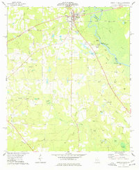
1974 · Abbeville South
USGS Topo · 1:24,000
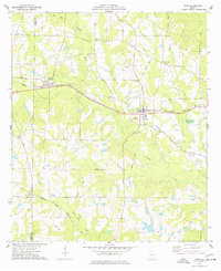
1974 · Pitts
USGS Topo · 1:24,000

1974 · Amboy
USGS Topo · 1:24,000
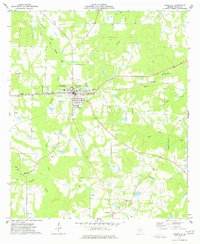
1977 · Rochelle
USGS Topo · 1:24,000