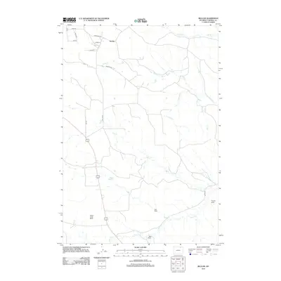
2012 Map of Recluse
USGS Topo · Published 2012About this map
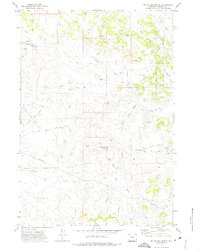
Recluse serves as the central hub of this Campbell County landscape, where the high plains are defined by a network of seasonal watercourses and drainages. The topography is marked by significant features such as Horse Creek Butte to the southwest and the Carson Reservoir situated near the center of the quadrangle. This area, largely utilized for ranching and resource extraction, features a series of prominent natural channels including Gas Draw, Dugout Draw, and Ruff Draw, which funnel runoff toward larger creek systems.
Find a feature on this map
23 named features on this map. Tap any name to fly to it.
Don’t see what you’re looking for? This feature index may not catch every label — zoom into the map to look around manually.
Map Details
Editions of this 2012 Recluse Map
This is the sole edition of this map. No revisions or reprints were ever made.
Other maps of this area

1954 · Gillette
USGS Topo · 1:250,000

1955 · Gillette
USGS Topo · 1:250,000

1958 · Gillette
USGS Topo · 1:250,000

1962 · Gillette
USGS Topo · 1:250,000
1971 · Reservoir Creek
USGS Topo · 1:24,000

1971 · Wildcat
USGS Topo · 1:24,000
1971 · Homestead Draw SW
USGS Topo · 1:24,000
1971 · Pitch Draw
USGS Topo · 1:24,000

1971 · Recluse
USGS Topo · 1:24,000
1971 · White Tail Butte
USGS Topo · 1:24,000