2024 Map of Rector
USGS Topo · Published 2024About this map
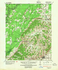
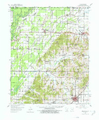
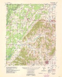
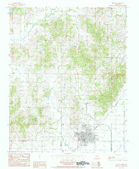
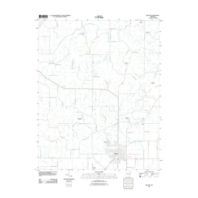
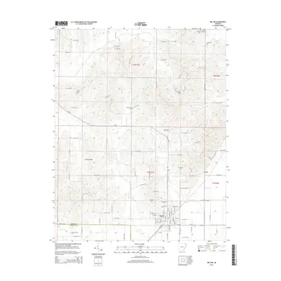
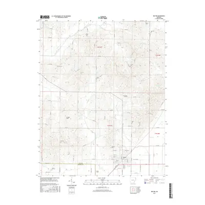
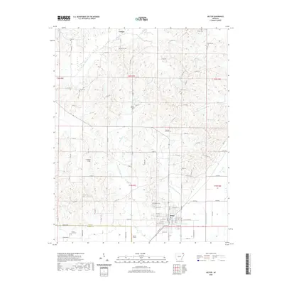
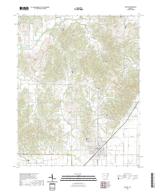
Crowleys Ridge rises above the surrounding lowlands of the Mississippi Alluvial Plain, defining the unique topographic character of this section of Clay County. The settlement of Rector serves as the primary hub in the south, where the street grid includes local identifiers like Donaldson St, while the smaller community of Crockett sits to the north. The landscape is deeply engraved with family and local history, evidenced by a high density of rural burial grounds such as Myer Hill Cem, Liberty Hill Cem, and Woodland Cem.
Find a feature on this map
87 named features on this map. Tap any name to fly to it.
Don’t see what you’re looking for? This feature index may not catch every label — zoom into the map to look around manually.
Map Details
Editions of this 2024 Rector Map
This is the sole edition of this map. No revisions or reprints were ever made.
Historical Maps of Rector Through Time
9 maps found