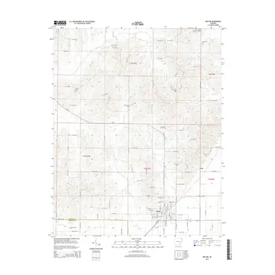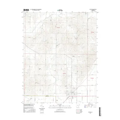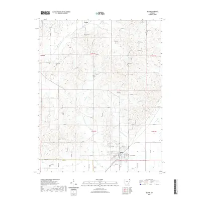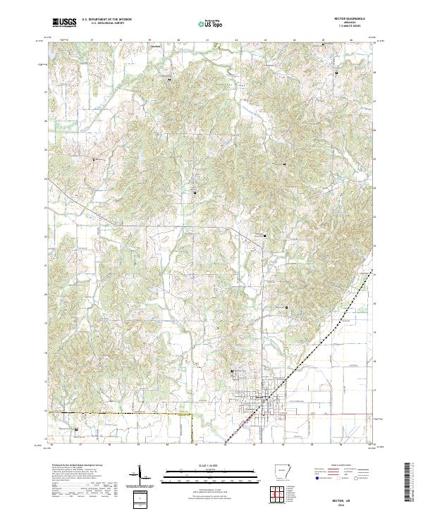
1984 Map of Rector
USGS Topo · Published 1984About this map
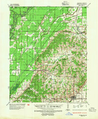
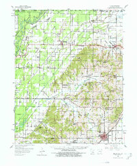
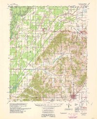
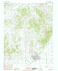
Rector serves as the primary hub of this 1980s landscape, situated along the St Louis Southwestern railroad line. The town's grid is clearly defined, with the Rector Airport located just to the southwest. The geography is shaped by a dense network of drainage, including Big Creek and the South Fork, which meander through the northern half of the quadrangle. Smaller settlements such as Crockett and Pratt punctuate the rural areas, marking the historical footprint of northeastern Arkansas community life during this era.
Find a feature on this map
12 named features on this map. Tap any name to fly to it.
Don’t see what you’re looking for? This feature index may not catch every label — zoom into the map to look around manually.
Map Details
Editions of this 1984 Rector Map
This is the sole edition of this map. No revisions or reprints were ever made.
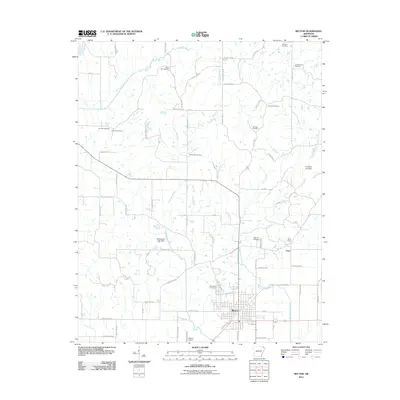
Historical Maps of Rector Through Time
9 maps found