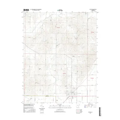
2017 Map of Rector
USGS Topo · Published 2017About this map
Crowleys Ridge rises above the lowlands of northeast Arkansas, providing a distinct elevated landscape that has long dictated settlement patterns in this part of Clay and Greene counties. The town of Rector serves as the primary hub, situated where the ridge meets the flatter drainage basins of White Walnut Creek and Vancel Cr. This geography is further defined by a high concentration of family and community burial grounds, such as Woodland Cem and Myer Hill Cem, which are often located on the higher ground of the ridge.
Find a feature on this map
92 named features on this map. Tap any name to fly to it.
Don’t see what you’re looking for? This feature index may not catch every label — zoom into the map to look around manually.
Map Details
Editions of this 2017 Rector Map
This is the sole edition of this map. No revisions or reprints were ever made.
Other maps of this area

1934 · Kennett
USGS Topo · 1:62,500

1935 · Rector
USGS Topo · 1:62,500

1940 · Marmaduke
USGS Topo · 1:62,500

1940 · Kennett
USGS Topo · 1:62,500

1940 · Piggott
USGS Topo · 1:62,500

1956 · Kennett
USGS Topo · 1:62,500

1956 · Piggott
USGS Topo · 1:62,500

1957 · Poplar Bluff
USGS Topo · 1:250,000

1958 · Marmaduke
USGS Topo · 1:62,500

1958 · Rector
USGS Topo · 1:62,500