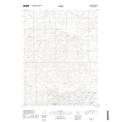
2018 Map of Red Bank
USGS Topo · Published 2018About this map
Rancho Tehama Reserve occupies the southern reaches of this Tehama County landscape, where a dense network of residential roads like S Mendocino Dr and Humboldt Dr fans out north of Elder Cr. The settlement pattern here contrasts sharply with the northern half of the map, which is defined by more traditional rural landmarks such as the small community of Red Bank and the open terrain of Elk Flat. Natural drainages like Red Bank Cr and Oat Cr cut eastward toward the Sacramento Valley, creating a series of ravines and landforms including Hungry Hollow and Vale Gulch. The presence of the Rancho Tehama Airport near Government Gulch serves as a modern focal point for this rural residential enclave situated between the Coast Ranges and the central valley floor.
Find a feature on this map
63 named features on this map. Tap any name to fly to it.
Don’t see what you’re looking for? This feature index may not catch every label — zoom into the map to look around manually.
Map Details
Editions of this 2018 Red Bank Map
This is the sole edition of this map. No revisions or reprints were ever made.
Other maps of this area

1890 · Red Bluff
USGS Topo · 1:250,000

1894 · Red Bluff
USGS Topo · 1:250,000

1944 · Flournoy
USGS Topo · 1:62,500

1949 · Colyear Springs
USGS Topo · 1:62,500

1951 · West of Gerber
USGS Topo · 1:24,000

1951 · Red Bluff West
USGS Topo · 1:24,000

1952 · Blossom
USGS Topo · 1:24,000

1952 · Red Bank
USGS Topo · 1:24,000

1952 · Paskenta
USGS Topo · 1:62,500

1952 · Red Bank
USGS Topo · 1:62,500