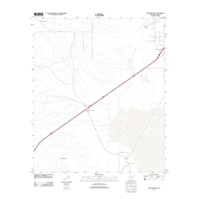
2011 Map of Red Bird Hills
USGS Topo · Published 2011About this map
Red Bird Hills dominate the southwestern corner of this landscape, where the high desert terrain transitions into the alluvial plains of Cochise County. The infrastructure of the early 21st century is defined by the heavy diagonal artery of the interstate, marked by the Cochise Interchange and the West Willcox Interchange. Near the center of the sheet, the Steele Ranch sits as a notable landmark of the local ranching economy, situated along W Davenport Ranch Rd. In the north, the Cochise County Airport serves the region, while the terrain is etched by the drainage of Severin Canyon. The presence of Croton Springs indicates a critical water source in this arid environment, a feature traditionally vital to settlement and livestock in the Arizona desert. The map also traces the local road network, including N Cochise Stronghold Rd and Railroad Ave.
Find a feature on this map
21 named features on this map. Tap any name to fly to it.
Don’t see what you’re looking for? This feature index may not catch every label — zoom into the map to look around manually.
Map Details
Editions of this 2011 Red Bird Hills Map
This is the sole edition of this map. No revisions or reprints were ever made.
Other maps of this area

1922 · Willcox
USGS Topo · 1:125,000

1943 · Willcox
USGS Topo · 1:62,500

1943 · Cochise
USGS Topo · 1:62,500

1943 · Dragoon
USGS Topo · 1:62,500

1943 · Winchester Mts.
USGS Topo · 1:62,500

1945 · Winchester Mts.
USGS Topo · 1:62,500

1954 · Silver City
USGS Topo · 1:250,000

1956 · Tucson
USGS Topo · 1:250,000

1957 · Winchester Mts.
USGS Topo · 1:62,500

1958 · Silver City
USGS Topo · 1:250,000