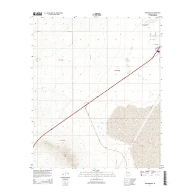
2014 Map of Red Bird Hills
USGS Topo · Published 2014About this map
Red Bird Hills rise from the high desert floor of southeastern Arizona, providing a stark topographical contrast to the flat expanse of the Willcox Playa to the southeast. This 2014 survey captures a landscape where infrastructure is concentrated along the northeast-southwest transportation corridor of Interstate 10 and US-191. The presence of the Cochise County Airport and a network of strictly aligned rural roads like W Airport Rd and S Foothills Rd indicate the region's mid-century modernization and continued role as an aviation and transit hub. In the south-central portion of the map, Croton Springs marks a specific point of hydrologic interest near the edge of the playa, while historical thoroughfares such as Railroad Ave reflect the long-standing importance of rail and road connections through the Sulphur Springs Valley.
Find a feature on this map
21 named features on this map. Tap any name to fly to it.
Don’t see what you’re looking for? This feature index may not catch every label — zoom into the map to look around manually.
Map Details
Editions of this 2014 Red Bird Hills Map
This is the sole edition of this map. No revisions or reprints were ever made.
Other maps of this area

1922 · Willcox
USGS Topo · 1:125,000

1943 · Willcox
USGS Topo · 1:62,500

1943 · Cochise
USGS Topo · 1:62,500

1943 · Dragoon
USGS Topo · 1:62,500

1943 · Winchester Mts.
USGS Topo · 1:62,500

1945 · Winchester Mts.
USGS Topo · 1:62,500

1954 · Silver City
USGS Topo · 1:250,000

1956 · Tucson
USGS Topo · 1:250,000

1957 · Winchester Mts.
USGS Topo · 1:62,500

1958 · Silver City
USGS Topo · 1:250,000