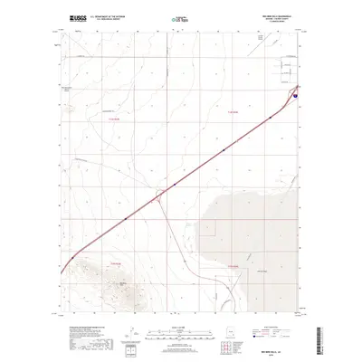
2018 Map of Red Bird Hills
USGS Topo · Published 2018About this map
Red Bird Hills rises above the arid landscape of Cochise County, anchoring a terrain defined by the sweeping expanse of the Willcox Playa. This 2018 survey reveals a modern transportation and aviation network, featuring the Inde Motorsports Ranch Airport and Cochise County Airport at the northern periphery. The presence of the playa indicates an internally draining basin, a characteristic desert feature where water from Croton Springs and seasonal runoff collects in the low-lying alkali flats.
Find a feature on this map
24 named features on this map. Tap any name to fly to it.
Don’t see what you’re looking for? This feature index may not catch every label — zoom into the map to look around manually.
Map Details
Editions of this 2018 Red Bird Hills Map
This is the sole edition of this map. No revisions or reprints were ever made.
Other maps of this area

1922 · Willcox
USGS Topo · 1:125,000

1943 · Willcox
USGS Topo · 1:62,500

1943 · Cochise
USGS Topo · 1:62,500

1943 · Dragoon
USGS Topo · 1:62,500

1943 · Winchester Mts.
USGS Topo · 1:62,500

1945 · Winchester Mts.
USGS Topo · 1:62,500

1954 · Silver City
USGS Topo · 1:250,000

1956 · Tucson
USGS Topo · 1:250,000

1957 · Winchester Mts.
USGS Topo · 1:62,500

1958 · Silver City
USGS Topo · 1:250,000