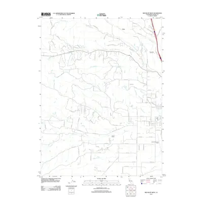
2012 Map of Red Bluff West
USGS Topo · Published 2012About this map
Saint Marys Cem and the outskirts of the Tehama County seat define the eastern edge of this 2012 survey. The landscape is characterized by a dense network of seasonal drainages and named creeks that flow toward the Sacramento River valley, including Dibble Cr, Brickyard Cr, and Reeds Cr. These waterways are flanked by a mix of established aviation and recreation sites, such as the Red Bluff Municipal Airport and Wilcox Oaks Golf Course.
Find a feature on this map
102 named features on this map. Tap any name to fly to it.
Don’t see what you’re looking for? This feature index may not catch every label — zoom into the map to look around manually.
Map Details
Editions of this 2012 Red Bluff West Map
This is the sole edition of this map. No revisions or reprints were ever made.
Other maps of this area

1890 · Red Bluff
USGS Topo · 1:250,000

1894 · Red Bluff
USGS Topo · 1:250,000

1905 · Tehama
USGS Topo · 1:62,500

1944 · Tuscan Buttes
USGS Topo · 1:62,500

1947 · Tuscan Buttes
USGS Topo · 1:62,500

1947 · Anderson
USGS Topo · 1:62,500

1948 · Anderson
USGS Topo · 1:62,500

1950 · Gerber
USGS Topo · 1:24,000

1951 · Gerber
USGS Topo · 1:24,000

1951 · Red Bluff East
USGS Topo · 1:24,000