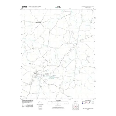
2010 Map of Red Boiling Springs
USGS Topo · Published 2010About this map
Red Boiling Springs serves as the focal point for this survey of the Tennessee-Kentucky borderlands, where the landscape is defined by a dense network of creek branches and deeply cut hollows. The town's surroundings are characterized by named landforms like Whitson Hollow and Maxie Bluff, reflecting a topographically complex region where roads often follow the natural contours of the drainage systems. Water management is prominent near the settlement, evidenced by the Red Boiling Springs Lake Number One and infrastructure like the Red Boiling Springs Dam Number One.
Find a feature on this map
98 named features on this map. Tap any name to fly to it.
Don’t see what you’re looking for? This feature index may not catch every label — zoom into the map to look around manually.
Map Details
Editions of this 2010 Red Boiling Springs Map
This is the sole edition of this map. No revisions or reprints were ever made.
Other maps of this area

1925 · Gainesboro
USGS Topo · 1:62,500

1929 · Gainesboro
USGS Topo · 1:62,500

1929 · Tompkinsville
USGS Topo · 1:62,500

1931 · Red Boiling Springs
USGS Topo · 1:62,500

1932 · Carthage
USGS Topo · 1:62,500

1954 · Fountain Run
USGS Topo · 1:24,000

1954 · Gamaliel
USGS Topo · 1:24,000

1954 · Tompkinsville
USGS Topo · 1:24,000

1956 · Corbin
USGS Topo · 1:250,000

1958 · Corbin
USGS Topo · 1:250,000