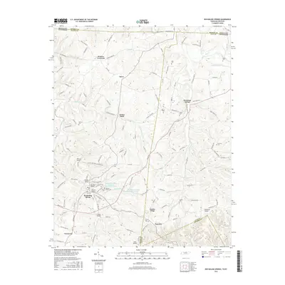
2016 Map of Red Boiling Springs
USGS Topo · Published 2016About this map
Red Boiling Springs serves as a central hub in this corner of North Central Tennessee, situated near the intersection of the Macon, Clay, and Jackson county lines. The landscape is defined by its numerous hollows and creek branches, including Whitson Hollow, Cotton Hollow, and the winding Salt Lick Creek. The map documents the local water management system, specifically the Red Boiling Springs Lake Number One and Lake Number Two situated just north of the town center. Small, historically significant settlements like Winklers Crossroads, Bakerton, and Spivey are connected by a network of winding ridge roads such as Heady Ridge Road and Lafayette Road. Numerous family and community burial grounds, including Bethany Cem, Gregory Cem, and Vinson Cem, are scattered across the terrain, providing essential landmarks for genealogical research.
Find a feature on this map
130 named features on this map. Tap any name to fly to it.
Don’t see what you’re looking for? This feature index may not catch every label — zoom into the map to look around manually.
Map Details
Editions of this 2016 Red Boiling Springs Map
This is the sole edition of this map. No revisions or reprints were ever made.
Other maps of this area

1925 · Gainesboro
USGS Topo · 1:62,500

1929 · Gainesboro
USGS Topo · 1:62,500

1929 · Tompkinsville
USGS Topo · 1:62,500

1931 · Red Boiling Springs
USGS Topo · 1:62,500

1932 · Carthage
USGS Topo · 1:62,500

1954 · Fountain Run
USGS Topo · 1:24,000

1954 · Gamaliel
USGS Topo · 1:24,000

1954 · Tompkinsville
USGS Topo · 1:24,000

1956 · Corbin
USGS Topo · 1:250,000

1958 · Corbin
USGS Topo · 1:250,000