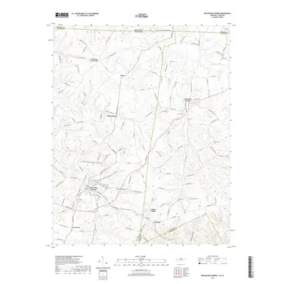
2019 Map of Red Boiling Springs
USGS Topo · Published 2019About this map
Red Boiling Springs anchors the southern portion of this region, situated among the intricate drainage networks of Salt Lick Cr and Witcher Hollow Br. The area is defined by its deep cultural history, evidenced by a high density of family cemeteries including the Cothron - Gregory Cem, Whitley Cem, and Reeves Cem. These sites are scattered through the hollows and along the ridges that straddle the state line between Tennessee and Kentucky.
Find a feature on this map
135 named features on this map. Tap any name to fly to it.
Don’t see what you’re looking for? This feature index may not catch every label — zoom into the map to look around manually.
Map Details
Editions of this 2019 Red Boiling Springs Map
This is the sole edition of this map. No revisions or reprints were ever made.
Other maps of this area

1925 · Gainesboro
USGS Topo · 1:62,500

1929 · Gainesboro
USGS Topo · 1:62,500

1929 · Tompkinsville
USGS Topo · 1:62,500

1931 · Red Boiling Springs
USGS Topo · 1:62,500

1932 · Carthage
USGS Topo · 1:62,500

1954 · Fountain Run
USGS Topo · 1:24,000

1954 · Gamaliel
USGS Topo · 1:24,000

1954 · Tompkinsville
USGS Topo · 1:24,000

1956 · Corbin
USGS Topo · 1:250,000

1958 · Corbin
USGS Topo · 1:250,000