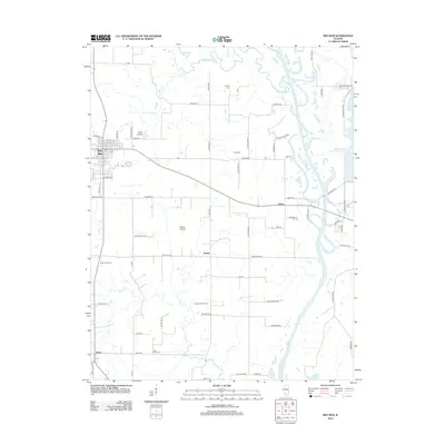
2012 Map of Red Bud
USGS Topo · Published 2012About this map
Red Bud and the surrounding agricultural landscape of Randolph County appear in this 2012 survey, defined by the winding course of the Kaskaskia River and its numerous tributaries. The map documents a rural environment where large-scale operations like the Sauer Dairy Farm and Koester Dairy Farm operate alongside localized aviation at the Voges Airstrip. Geologic and historical terrain is marked by Horse Prairie and the Copper Head RDG, illustrating the persistent prairie character of southwestern Illinois.
Find a feature on this map
69 named features on this map. Tap any name to fly to it.
Don’t see what you’re looking for? This feature index may not catch every label — zoom into the map to look around manually.
Map Details
Editions of this 2012 Red Bud Map
This is the sole edition of this map. No revisions or reprints were ever made.
Other maps of this area

1910 · Waterloo
USGS Topo · 1:62,500

1912 · New Athens
USGS Topo · 1:62,500

1912 · Baldwin
USGS Topo · 1:62,500

1913 · Waterloo
USGS Topo · 1:62,500

1914 · Baldwin
USGS Topo · 1:62,500

1915 · Renault
USGS Topo · 1:62,500

1940 · Renault
USGS Topo · 1:62,500

1942 · Baldwin
USGS Topo · 1:62,500

1949 · Saint Louis
USGS Topo · 1:250,000

1954 · New Athens West
USGS Topo · 1:24,000