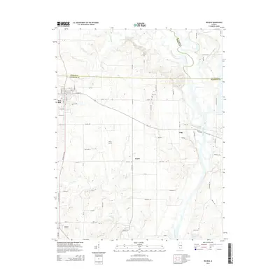
2015 Map of Red Bud
USGS Topo · Published 2015About this map
The Kaskaskia River winds through the eastern edge of this Illinois landscape, defining the transition between the agricultural uplands and the river valley. The settlement of Red Bud serves as the primary hub in the northwest, featuring a grid of residential streets like E Market St and Madison St. To the south, the village of Ruma sits near the intersection of several regional routes, including The Great River Rd.
Find a feature on this map
76 named features on this map. Tap any name to fly to it.
Don’t see what you’re looking for? This feature index may not catch every label — zoom into the map to look around manually.
Map Details
Editions of this 2015 Red Bud Map
This is the sole edition of this map. No revisions or reprints were ever made.
Other maps of this area

1910 · Waterloo
USGS Topo · 1:62,500

1912 · New Athens
USGS Topo · 1:62,500

1912 · Baldwin
USGS Topo · 1:62,500

1913 · Waterloo
USGS Topo · 1:62,500

1914 · Baldwin
USGS Topo · 1:62,500

1915 · Renault
USGS Topo · 1:62,500

1940 · Renault
USGS Topo · 1:62,500

1942 · Baldwin
USGS Topo · 1:62,500

1949 · Saint Louis
USGS Topo · 1:250,000

1954 · New Athens West
USGS Topo · 1:24,000