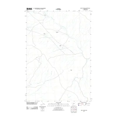
2011 Map of Red Canyon
USGS Topo · Published 2011About this map
Ball Ranch and the surrounding drainage of Sweetwater Creek anchor this high-altitude landscape in Beaverhead County. The terrain is defined by a series of significant geological depressions and rises, including the Sweetwater Basin and Red Canyon, which transition into the elevated Timber Hill to the south. Historically significant water sources like Virginia Springs and Crazy Springs Creek feed into a network of seasonal and perennial streams that have long dictated the placement of ranching outposts and grazing lands. The primary artery through this area remains Sweetwater Rd, which follows the natural contours between Wood Canyon and the surrounding peaks, illustrating how local transportation has historically adapted to the drainage patterns of Wagner Creek and Brock Creek.
Find a feature on this map
12 named features on this map. Tap any name to fly to it.
Don’t see what you’re looking for? This feature index may not catch every label — zoom into the map to look around manually.
Map Details
Editions of this 2011 Red Canyon Map
This is the sole edition of this map. No revisions or reprints were ever made.
Other maps of this area

1893 · Dillon
USGS Topo · 1:250,000

1955 · Dubois
USGS Topo · 1:250,000

1955 · Dillon
USGS Topo · 1:250,000

1957 · Dillon
USGS Topo · 1:250,000

1958 · Dubois
USGS Topo · 1:250,000

1958 · Dillon
USGS Topo · 1:250,000

1961 · Mine Gulch
USGS Topo · 1:24,000

1961 · Christensen Ranch
USGS Topo · 1:24,000

1961 · Red Canyon
USGS Topo · 1:24,000

1961 · Elk Gulch
USGS Topo · 1:24,000